What Makes a Hike Difficult?
Compare distance, ascent, terrain, conditions and exit options instead of trusting a single difficulty label.
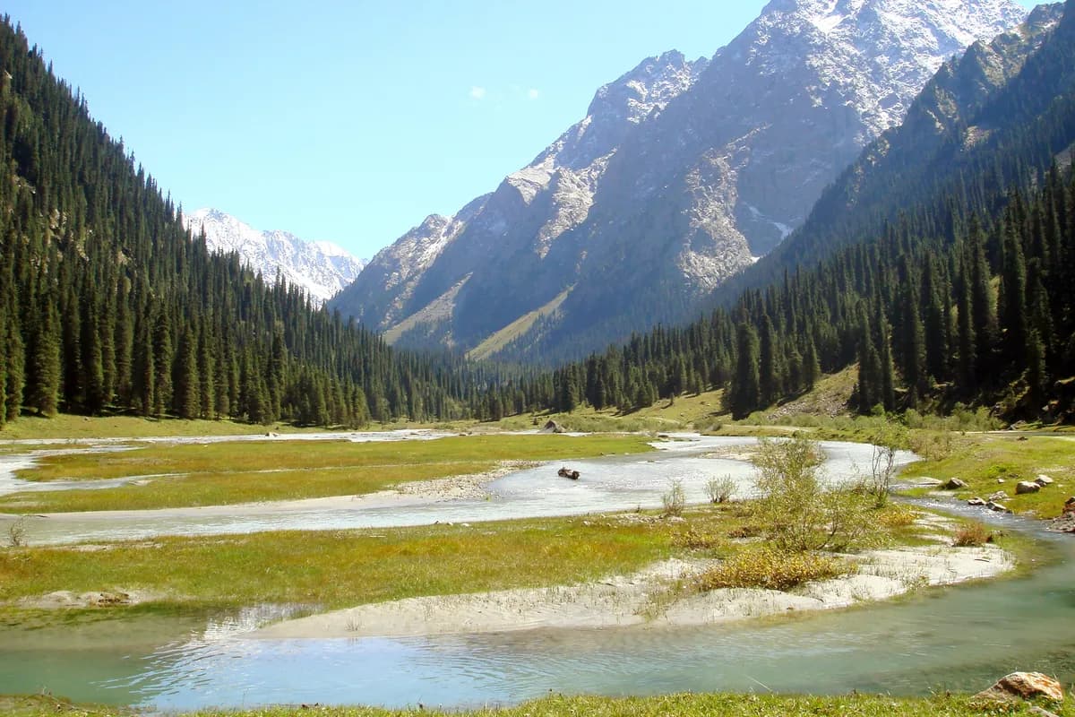
A hike becomes demanding through a combination of distance, climbing, terrain, conditions and the time or options available to finish. “Easy,” “moderate” and “hard” are useful starting labels only when you know what the publisher means.
There is no difficulty label that establishes suitability for every reader. Shenandoah National Park uses its own rating approach and advises checking distance and elevation too. Do not assume that another park or operator uses the same system.
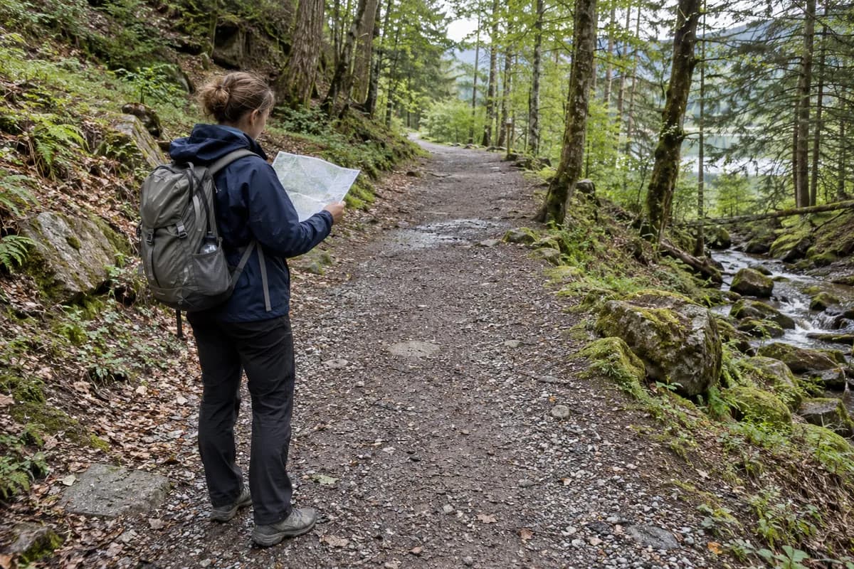
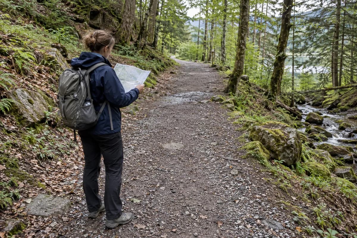
Full walking route
Every uphill section
What is underfoot
Marking and junctions
Weather and access
Return and daylight
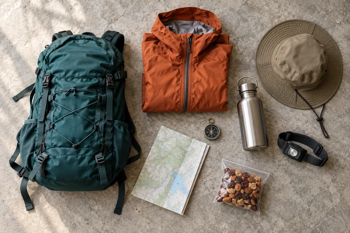
Day or overnight gear
Build a demand profile
Ask for information you can compare with a walk you already understand. These questions separate the demands rather than collapsing them into a score.
| Dimension | Look for | Why it can change your choice |
|---|---|---|
| Distance | Full route, not only outward section | Establishes the walking that remains |
| Climbing | Cumulative ascent and major descents | Reveals effort hidden by horizontal distance |
| Surface | Rock, steps, loose ground, mud or maintained path | Affects movement and equipment choices |
| Route complexity | Marking, junctions and required skills | Changes navigation demands |
| Conditions | Current weather, snow and water crossings | Can change the route rather than merely slow it |
| Commitment | Return transport, exits and daylight | Determines whether shortening the day is feasible |
| Carried load | Day gear or overnight equipment | Changes the same person's experience of the walk |
Exposure and technical sections need explicit descriptions. A path needing scrambling is not just a normal footpath with a higher number attached.
A route page can contain more than one demand
The DOC description of Arthur's Pass Walking Track describes generally gentle gradients with steep steps near Bridal Veil Creek. That combination matters more than copying a broad label.
For an illustrative out-and-back from Punchbowl car park toward the Bridal Veil Falls lookout, identify the actual section before comparing demands. Do not extend its description to the whole track or assume a view of the falls establishes access beyond it. This is a reading example, not a current-access recommendation.
Carry the same example through three decisions: read the route version and return, set a return limit with justified inputs, then pack for the route and possible delay. The missing duration or access check belongs in the question list, not inside an “easy” badge.
Do not turn uncertainty into reassurance
Missing ascent means “Not confirmed,” not flat. An absent warning about exposure does not prove there is none. A route reviewed in a different season may be a poor description of current conditions.
Ask the local route provider what has changed and what the alternative involves. If the essential demands remain unknown, select another verified route rather than assigning your own “easy” badge.
Make the group discussion practical
Ask each person what they have recently walked, how much flexibility they want and which conditions they are comfortable discussing. Avoid diagnosing fitness or using age as a shortcut. Agree on the shared walking stage and a decision point that works for the whole group.
A shorter option needs a real finish, return transport and someone responsible for it. “You can wait somewhere” is not a complete alternative.
Use mixed-pace holiday planning to build that arrangement. For the climbing itself, elevation gain explains how a profile can reveal repeated uphill sections.
What this guide is based on
This guide is researched editorial guidance. A source review does not confirm current local access, road conditions or your individual ability.
- How to Determine Hiking Difficulty ↗Shenandoah National Park, NPS · S02
Park-specific rating system; its labels and formula are not a global difficulty standard.
- Staying Safe: Trails & Hiking ↗U.S. National Park Service · S16
General preparation resources; not a guarantee that a particular hike is suitable.
- Arthur’s Pass Walking Track ↗New Zealand Department of Conservation · C30-15
Actual route-description reading example; not a recommendation or confirmation of current access, duration or suitability.