How to Read a Trail Description Before Choosing the Walk
Extract the exact start, return, terrain and missing information from a trail listing rather than relying on its difficulty label.
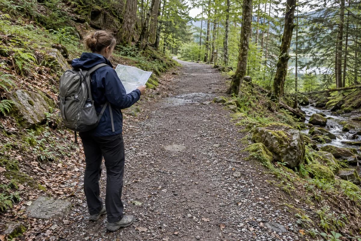
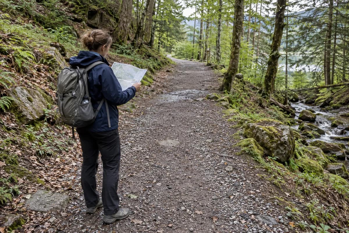
Read a trail description as instructions for identifying one particular walk, then as evidence about its demands. Establish the start, finish, direction and included sections before comparing its distance, duration or difficulty with another listing. Two pages with the same scenic destination can describe different days.
A photograph and a colored grade are useful orientation, but they leave important work unfinished. The goal is a short route brief you can explain in your own words, with the missing information still visible. This is a reading method, not a substitute for navigation skills or current local guidance.
Identify the version before reading the number
Write the route's full name and the specific trailhead or entrance. Check whether the description begins at a parking area, a village, a transport stop or an intermediate junction. If your accommodation is elsewhere, its approach is a separate journey.
Next, identify the finish and intended return. A page may describe a complete loop, a one-way section or a path that you retrace. Optional extensions can be included in a headline while excluded from the basic distance. Read the text around the number rather than copying the largest figure into a plan.
Keep a record of the page and the version you are using. When a companion sends a different link, compare those route identities first. An argument about walking speed may actually be an argument about two different starts.
An official description shows why the details matter
Consider the DOC description of Arthur's Pass Walking Track as a reading example, not a proposed outing.
| Detail in the published description | Question it resolves |
|---|---|
| Several named parking areas can provide a start | Which portion are you intending to walk? |
| Much of the gradient is gentle, but steep steps occur | Does a broad description hide a concentrated demand? |
| The return follows the track | Is the outward destination also the end of the walking day? |
| DOC warns against using the main highway as the return | Is a tempting apparent shortcut actually part of the described route? |
These points were source-checked for this article. They do not establish present access, a suitable version for you or a current duration. Consult the live route information before planning a visit.
Carry one route brief into the next decision
For the linked example, write: “Start at Punchbowl car park, walk toward Bridal Veil Falls lookout, and return on the track. Do not use the highway as a shortcut.” DOC explicitly warns against the highway return. Whether the chosen section is open and fits the group still needs a current local check.
The park/track information must be checked for notices affecting this exact section; an absent alert in an extracted page is not proof of no restrictions. No current notice clearance is claimed here. If a section is affected or remains unclear, choose another verified outing instead of joining an old route description to new assumptions.
This brief fixes the return shape. It does not fix your speed, conditions or latest return. Take those questions to the turnaround example, then carry the route-specific needs into the packing checklist.
Separate measurements that answer different questions
Extract four different kinds of information
- Route identity
- Measurements
- Terrain
- Current notices
The diagram is an original reading framework. Its boxes are categories of information, not stages of a real route.
For distance, record whether the figure covers the full return. For ascent, distinguish accumulated climbing from maximum elevation and the height difference between start and finish. For duration, look for the activity and route version it describes, and whether the source explains its assumptions.
A duration without context should become a question. Do not silently add your own stops to it and then treat the result as a provider-confirmed total. Read elevation gain and route shapes when those terms need separating.
Also check units. A number copied without its unit cannot be compared reliably. Keep the published unit and precision visible; additional decimal places from a conversion do not improve the underlying measurement.
Translate broad language into specific questions
“Easy,” “family-friendly” and “well marked” do not all answer the same question. Ask what the source says about surfaces, steps, exposure, crossings, route finding and the ability to shorten the outing. A phrase may describe most of a trail while the section you are concerned about remains unexplained.
The DOC track-category framework separates descriptions of surfaces, markers and expected skills. It is DOC's system, not a universal scale. Use the local publisher's definitions rather than matching a color to a grade from another country.
If the practical question concerns your own mobility or a companion's needs, ask about the actual feature: the steps, width, surface or other relevant requirement. A general label is less informative than a clear answer about the section you would need to use. See what makes a hike difficult for the wider comparison.
Keep permanent description and current information separate
A general route page can describe the intended track while a separate notice explains a closure, changed access or temporary restriction. Check both. A recent review by another visitor does not automatically override the land manager's current information.
Record when you checked and what remains unresolved. If a route notice refers to a named section, compare it with your selected start and finish instead of assuming the entire outing is unaffected. Ask the authority when the information is unclear.
Do not combine a current access notice from one route with measurements from another simply because the places are nearby. Each part of your brief should refer to the same intended walk.
Finish with a brief someone else can challenge
Use this structure: “We intend to start at this location, follow this version, finish here and return this way. The published measurements cover these sections. We still need answers about these features and current notices.”
Read it to a travel partner. Ask them to identify what you have assumed. If they cannot tell whether the return is included, the brief needs revision before you discuss a longer extension.
Only then use the information to choose the day and its limits. The turnaround-time planning example shows how a known return arrangement can shape an outing. Unclear route information belongs in the open-question column, not inside an apparently precise schedule.
What this guide is based on
This guide is researched editorial guidance. A source review does not confirm current local access, road conditions or your individual ability.
- Walking track categories ↗New Zealand Department of Conservation · C30-04
DOC category framework, not a worldwide grading standard; listing is not a live condition report.
- Arthur’s Pass Walking Track ↗New Zealand Department of Conservation · C30-15
Actual route-description reading example; not a recommendation or confirmation of current access, duration or suitability.