Seven Hanging Valleys Trail: Cliffs, Beaches and the Way Back
Choose a one-way or return walk on the Seven Hanging Valleys Trail between Vale Centeanes and Marinha, with cliff scenery, beach stops and pickup planning.

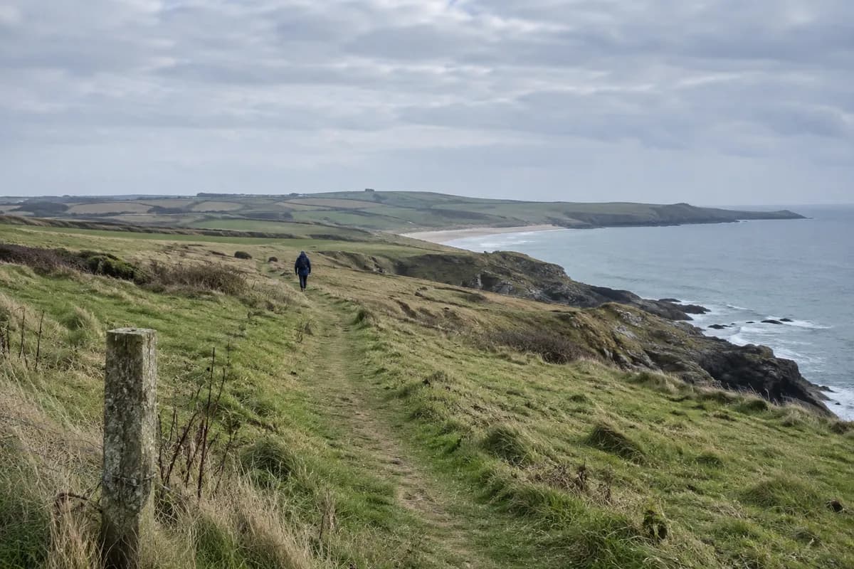
The Seven Hanging Valleys Trail follows the Algarve's limestone coast between Praia de Vale Centeanes and Praia da Marinha. Choose the full one-way walk if you want to keep moving through different views and can arrange a ride from the far end. Choose an out-and-back when returning to the same access point matters more than covering the whole coast.
Lagoa's official route page, updated on 9 October 2026, gives the one-way distance as 5.7 km (3.5 mi). The “hanging” valleys are watercourses that meet the coast above sea level. Together with the limestone cliffs, they make the path more varied than a straight promenade along a beach.
What to look for along the coast
The municipality describes juniper scrub on the cliff tops and seabirds using the rock faces. Looking at the vegetation and the shape of each inlet adds detail to the broad sea views. Keep your viewing stops on permitted paths and behind barriers.
The municipal 2010 route leaflet, preserved by Walking Portugal, names Alfanzina Lighthouse, Carvalho and Benagil beaches along the wider sequence between Vale Centeanes and Marinha. It is useful for recognizing the coastline, but current signs and restrictions take precedence over its old map.
Beach descents are separate choices within the day. Allow for the climb back to the trail, and use only open, authorized access. The cliff-top walk does not provide an entrance into Benagil's sea cave; do not climb over fencing around openings in the rock.
Choose the shape before the starting end
| Plan | Walking distance | Where you finish | Main tradeoff |
|---|---|---|---|
| Full one-way route | 5.7 km (3.5 mi), plus any access or beach detours | The opposite endpoint | More coast without retracing, but a separate ride is needed |
| Full route and back | 11.4 km (7.1 mi), calculated as twice the published length | The starting endpoint | Simpler vehicle arrangement, substantially more walking |
| A selected section and back | Depends on your named turning point | The starting endpoint | Less of the coast, more flexibility for stops |
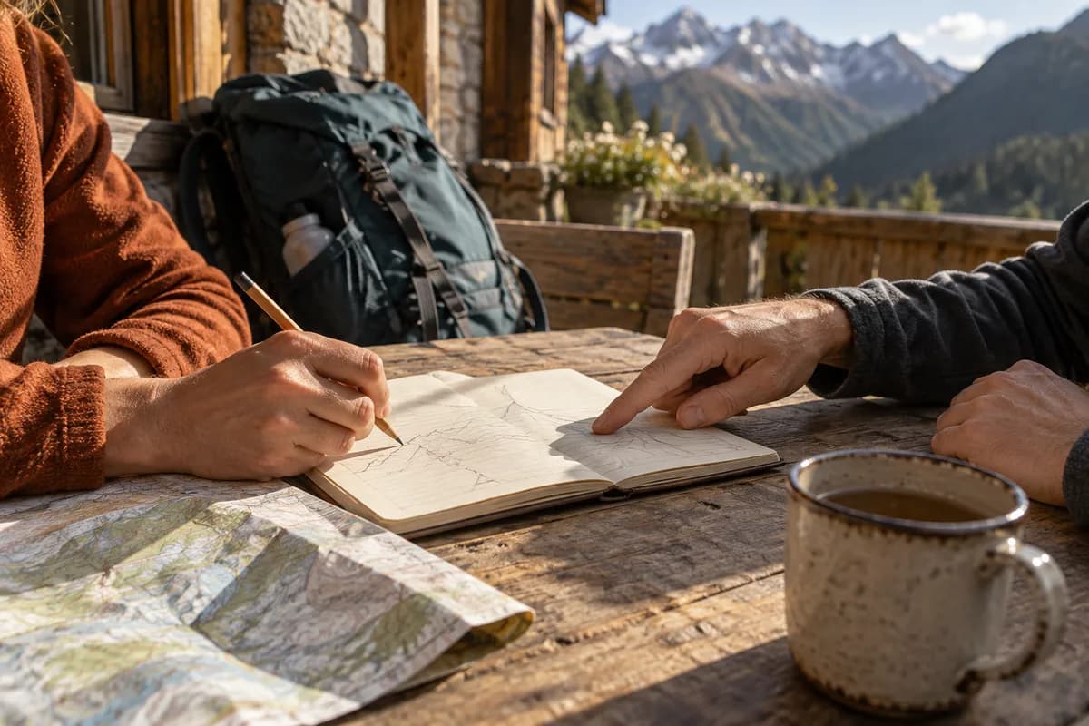
For a one-way walk, choose the starting end around the transfer you can actually arrange. A ride to the start followed by a walk back toward your accommodation or vehicle may fit better than depending on an uncertain pickup after the walk. Confirm the exact drop-off and collection points with the provider.
For a full return, count both directions from the beginning. The extra walking is not an incidental trip back to the car. For a shorter outing, choose a turning point on the current signed route and leave room for the return as well as the outward views.
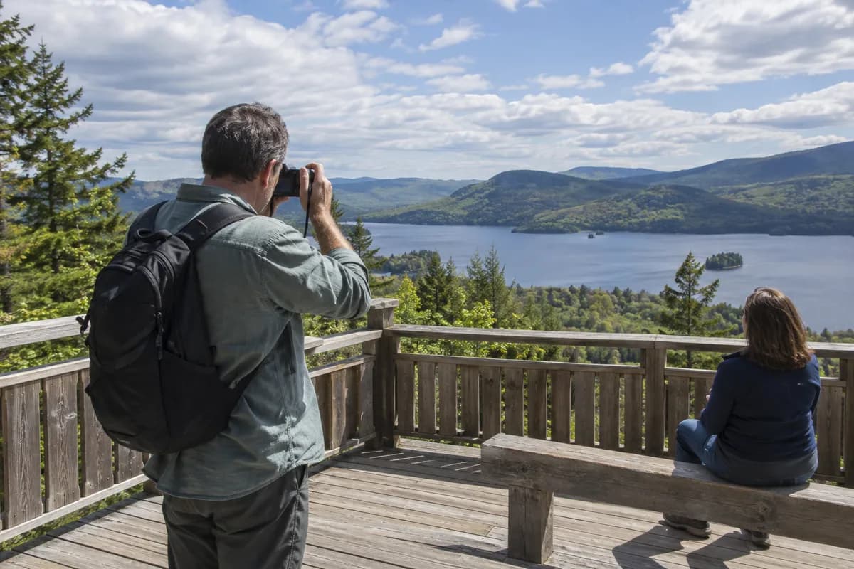
Our point-to-point logistics guide helps align people, vehicles and bags. If photographs are the priority, use time for photography stops when choosing between the three options.
Make room for the exposed sections
The old municipal leaflet warns about unstable cliff edges, loose stones and strong wind, and advises suitable footwear, drinks and sun protection. Stay on the route and respect fencing around sinkholes. Check the forecast and Lagoa's current public notices before going; a recently updated destination page is not a daily inspection of every section.
Let conditions and the group determine how much of the route fits. If a beach pause or a long photo stop is the part everyone wants, shorten the walking plan to make room for it. The selected distance should leave time to enjoy the coast and reach your agreed return point.
For another kind of Algarve landscape, try an Armona island day in Ria Formosa. It replaces the cliff route with a ferry and an island visit, with its own schedule to arrange.
What this guide is based on
This guide is researched editorial guidance. A source review does not confirm current local access, road conditions or your individual ability.
- Sete Vales Suspensos: current municipal route page ↗Município de Lagoa · SC20-PT-14
Fresh municipal description does not certify all trail sections currently open; no detailed current reroute map established.
- Seven Hanging Valleys municipal route leaflet, 2010 edition ↗Município de Lagoa; archived copy hosted by Walking Portugal · SC20-PT-15
Historical primary leaflet on third-party host. Used only landscape orientation and general cautions; not current access, parking, facilities or detailed navigation.
- Lagoa public notices and alerts ↗Município de Lagoa · SC20-PT-16
Only current listing opened; absence of a trail closure in a listing is not affirmative trail-open evidence.