Ponta de São Lourenço: Plan Madeira’s Coastal Walk
Walk Madeira’s open eastern peninsula on PR8. Understand Baía d’Abra–Casa do Sardinha, the full return distance, signed diversions and transport back.
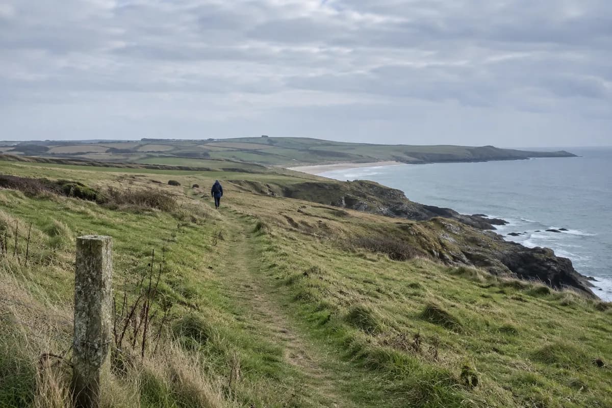
Ponta de São Lourenço shows a more open side of Madeira: low vegetation, volcanic rock and views toward both sides of the island's eastern peninsula. Choose it when you want the coast to be the main event. Plan the walk out and back before adding any other stops to the day.
Visit Madeira's PR8 page identifies the route as Baía d'Abra → Casa do Sardinha, with 4 km outward and 4 km back. That makes 8 km (5 mi) for the published return route. Casa do Sardinha is the named endpoint; a photograph of the farthest visible rocks does not extend the walk to them.
A coastline with little shelter
The peninsula is predominantly basalt, with some limestone formations. Visit Madeira attributes its low vegetation and lack of trees to the semi-arid climate and exposure to northern winds. The small islands beyond it, Desembarcadouro and Farol, help define the seaward view.
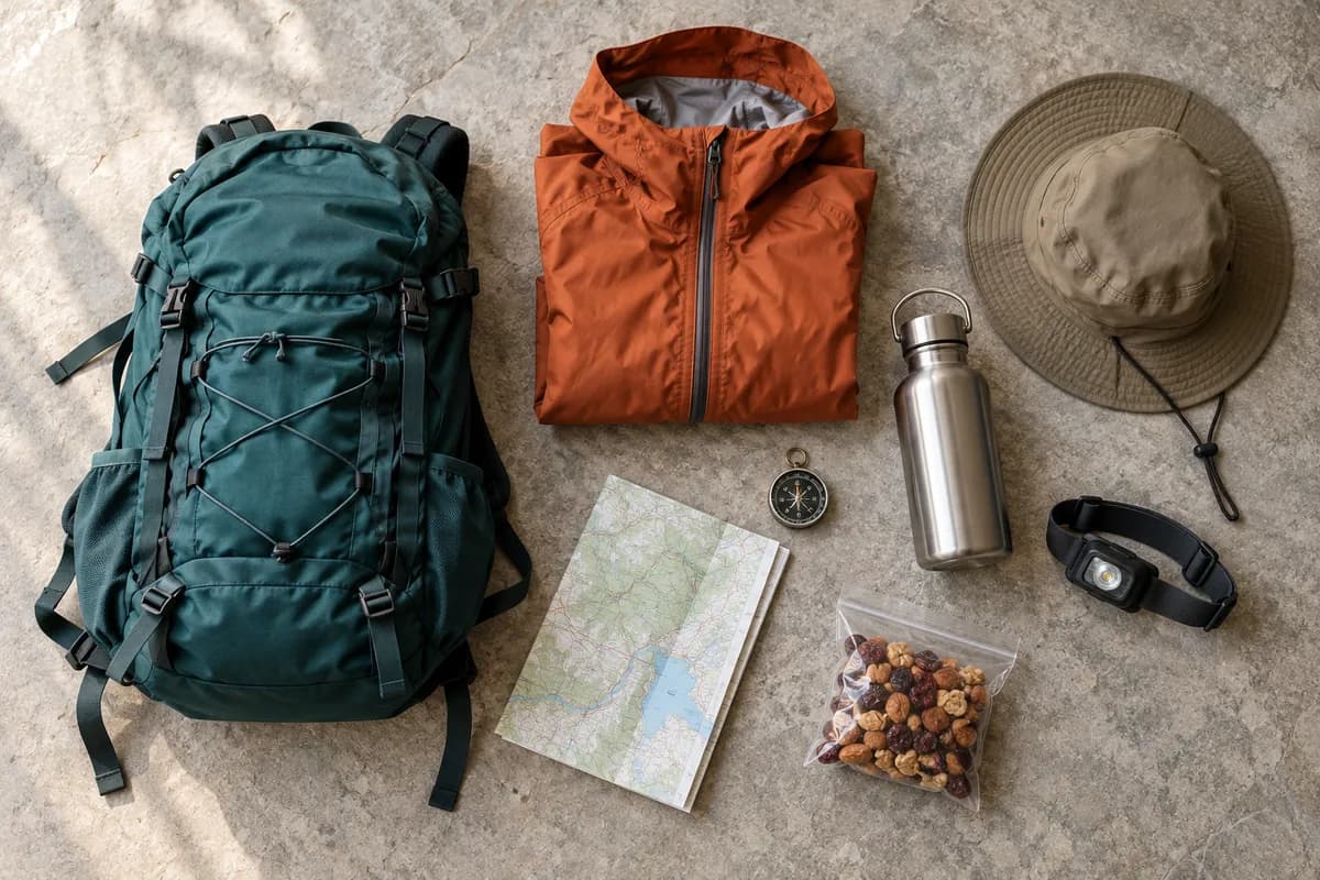
Those open views are the reason to come, but they also change what to carry. Pack water, sun protection, food and a layer suited to the forecast; do not make the walk depend on buying supplies at the far end. Use the day-hike packing checklist to adapt your bag to the conditions.
Follow the current signed route
When checked on 15 October 2026, the official PR8 page showed restricted status, with temporary diversions indicated by signs and directional arrows. Follow those directions. The published route length is a reference, not a measurement of every temporary variation.
Check the same page again before traveling, then use Madeira's classified-trail booking guidance to reserve the required visit through SIMplifica. A place on a booking system does not override a closure or a direction given on site.
Decide how far to go as a group
| Point in the day | Decision | What to keep in the plan |
|---|---|---|
| Before leaving Baía d'Abra | Full route or a shorter return walk? | A return journey that still fits the agreed transport |
| During the outward walk | Continue if conditions, energy and time still suit everyone | Enough time and supplies to retrace the permitted route |
| At the chosen turning point | Begin the return, even if the group could walk farther | Stops on the way back, not just moving time |
| Back at the access point | Meet the booked ride or use the confirmed service | The final journey to your accommodation |
For a shorter visit, agree on a permitted turning point and a time limit before starting. Shortening the walk is a complete choice, not a failed attempt at the longer route. Keep the group together when changing the plan, especially if one person's transport depends on everyone returning together.
Leave time for the trip home
Confirm how you will reach Baía d'Abra and return from it. If using a scheduled service, check the stop and the departures for your actual date. If arranging a driver, specify the pickup point and a realistic meeting time, with a way to contact them.
The turnaround-time guide helps work backward from that return. Include pauses for the coast: a timetable that allows only continuous walking leaves little room for the reason you came.
For a Madeira trip with contrasting days, put this peninsula beside Fanal's forest or the central mountain walks. Each deserves its own transport and weather decision.
What this guide is based on
This guide is researched editorial guidance. A source review does not confirm current local access, road conditions or your individual ability.
- Madeira classified hiking routes and reservations ↗Madeira Promotion Bureau / Visit Madeira; IFCN guidance · SC20-PT-10
No reservation completed or live capacity verified. Does not establish admission terms for every Fanal visitor area.
- PR8 Vereda da Ponta de São Lourenço ↗Madeira Promotion Bureau / Visit Madeira; IFCN trail information · SC20-PT-13
Restriction is date-specific. Source duration not used because full-day interpretation is ambiguous. No extension to farthest rocks or guaranteed swimming access.