Oirase Gorge: Choose a Short Riverside Walk
Choose a short Oirase Gorge walk from Nenokuchi to Choshi Otaki Falls, with a clear one-way distance, return option and seasonal bus connections.
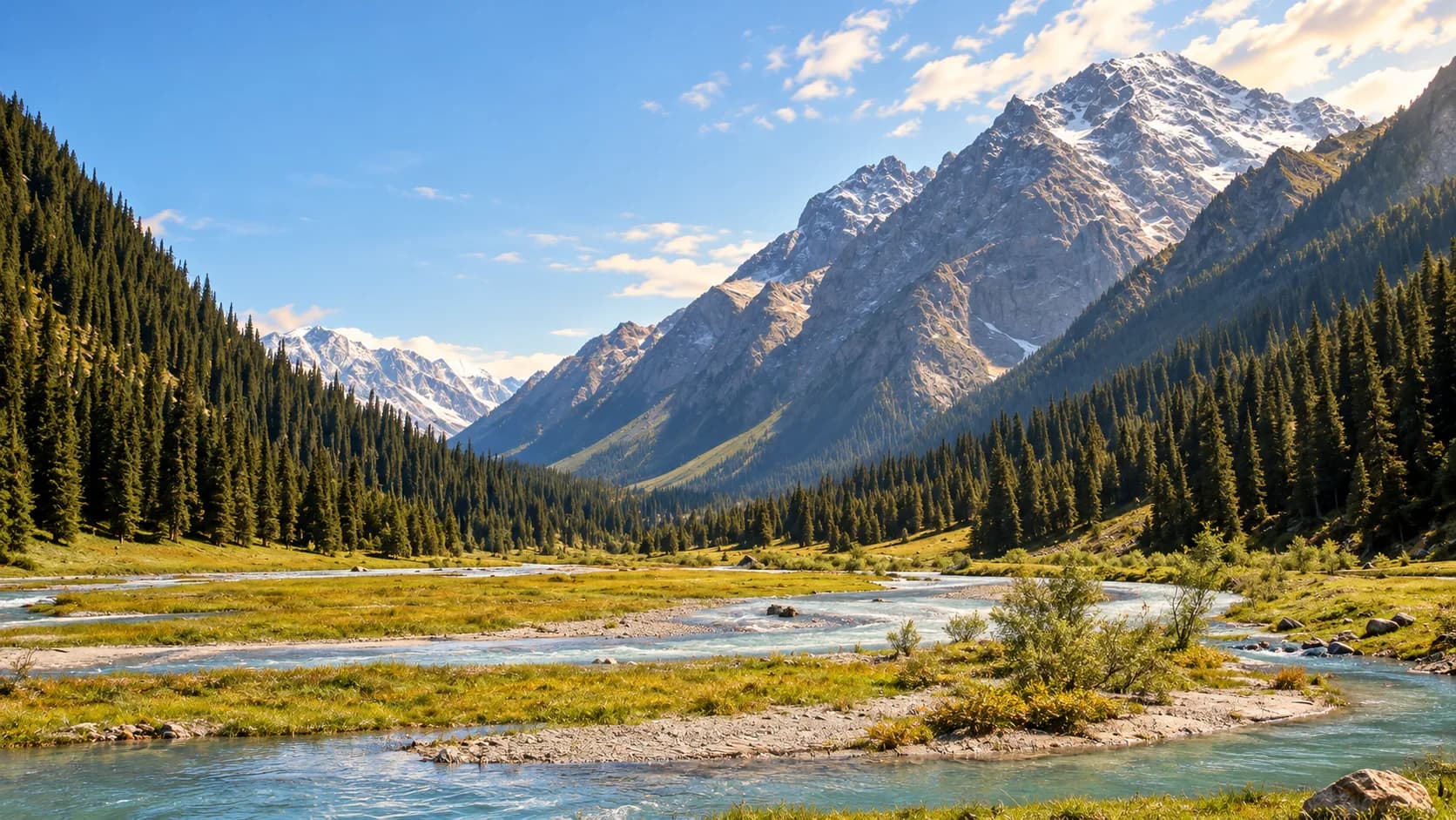
For a short Oirase Gorge visit, start at Nenokuchi on Lake Towada and walk downstream to Choshi Otaki Falls. This gives the outing a clear destination: a waterfall on the stream that leaves the lake, reached through the wooded upper gorge. Return along the same path, or use the bus from the falls if the service for your date fits.
You can spend time watching water move around rocks and looking at the moss and trees without taking on the whole gorge. Oirase's appeal is close to the path; it does not depend on reaching a distant summit. JNTO's Oirase introduction.
One waterfall, with a choice of return
The Oirase ecotourism council's walking map labels Nenokuchi to Choshi Otaki Waterfall as approximately 1.6 km (1 mi) and 30 minutes one way. That is a walking estimate, before time at the falls or stops along the stream. Council walking map and visitor information.
| Plan | Walking commitment | Transport decision |
|---|---|---|
| Nenokuchi to Choshi Otaki, then back | About 3.2 km (2 mi), calculated by doubling the mapped one-way distance | Arrive and leave at Nenokuchi |
| Nenokuchi to Choshi Otaki, then bus | About 1.6 km (1 mi), plus the walk to your boarding point | Confirm the named falls stop, direction and departure before starting |
| Full gorge walk, Yakeyama to Nenokuchi | 14.3 km (8.9 mi); JNTO lists a five-hour walking estimate | A separate day with transport at both ends |
The full-route figure comes from National Parks of Japan. It is useful for comparison, but it does not describe the short waterfall outing above.
The out-and-back version is easier to change while walking: you can turn around earlier and still return to your arrival point. The one-way version saves some walking only when the onward bus actually works. Do not treat the presence of a stop on a map as a promise that a bus will arrive when you need it.
Connect the walk to your gateway
JR Bus Tohoku lists routes into the area from Aomori and Hachinohe, with stops including Nenokuchi and Choshi Otaki Falls. Reservation rules differ by service and boarding point, so use the instructions for the bus you intend to take. Operator routes, stops and reservations.
Begin with the return journey. Choose whether you will leave from Nenokuchi or the falls, then find the outward service that gives you enough time between the two. For a day from a city base, the journey into the gorge is a substantial part of the outing; the shortness of the walk should not hide the rest of the travel day.
An overnight around Lake Towada can change that balance. Compare the accommodation's exact location and its connection with Nenokuchi, rather than treating every lakeside stay as being beside the start. If the bus schedule leaves too little time, keep the walk for a day with a better connection.
The path, the road and the season
A road runs alongside the gorge as well as the walking trail. Use the signed pedestrian route and identify the actual bus boarding point before crossing to it. The council's map distinguishes the stream, path, road and stops, which makes it more useful here than a pin marking only the waterfall. Oirase walking information.
This is a plan for a date when the walking route and the transport you need are operating. Winter ice, snow and seasonal service changes require a separate decision; a summer bus listing is not a winter itinerary. Read the current local notices and operator information before you travel.
If you want to extend the walk beyond Choshi Otaki, choose the next endpoint and its return arrangement first. Our trail-description guide helps distinguish an extra section from a small detour. For travel near the beginning or end of the operating season, use the shoulder-season checklist before committing to the overnight.
What this guide is based on
This guide is researched editorial guidance. A source review does not confirm current local access, road conditions or your individual ability.
- Oirase Trail ↗JNTO / National Parks of Japan · SC20-JP-21
Full route used only as comparison; does not supply selected short-route distance.
- How to walk around Oirase Gorge ↗Oirase Towada Utilization Council / Oirase Gorge Eco-Tourism Project Executive Committee · SC20-JP-22
Map image inspected and saved as research evidence; undated approximate walking values, not present trail conditions.
- Lake Towada and Oirase route buses ↗JR Bus Tohoku · SC20-JP-23
Undated page; exact timetable validity, service and reservation checked for travel date. No winter operation promised.
- Oirase Gorge ↗Japan National Tourism Organization · SC20-JP-24
General visitor overview; no weather, fall-color or current access guarantee.