Jogasaki Coast: A Bridge-Focused Visit at Kadowaki
Choose Kadowaki’s suspension bridge and lava-coast surroundings for a compact visit, or separate out a longer walk on Jogasaki’s coastal trails.
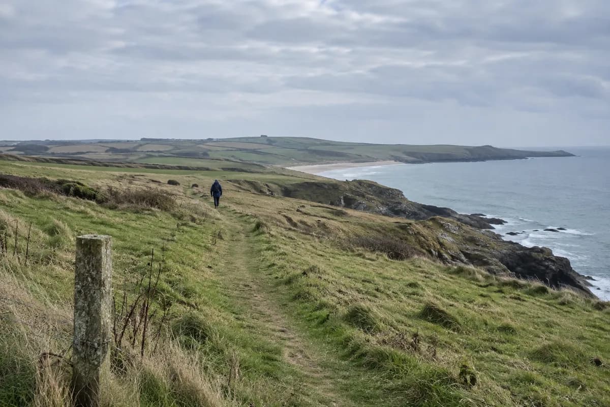
At Jogasaki, make Kadowaki Suspension Bridge the focus if you want the lava coast in a compact visit. The bridge places you above an inlet between dark rock walls; the surrounding coast paths let you look back at the same landscape from solid ground. A longer coastal walk is a separate choice, with different arrival and return points.
Lava shaped the shoreline
The Izu Peninsula Geopark and Tourism Bureau links Jogasaki's coast to lava from Mount Omuro. The cooled flows give the shore its broken edges and rocky inlets. Look along the coastline as well as down from the bridge: the shape of the rock is the main subject, with islands visible offshore when conditions allow.
The bureau lists the bridge as 48 m (157 ft) long and 23 m (75 ft) high. Those are bridge dimensions, not the length or climb of your walking route. Crossing it takes only one part of a visit that also includes getting to the coast and returning.
Choose the bridge area if your priority is one recognizable feature with time to pause. Choose the wider trail system if you want the coast itself to occupy several hours, after settling its endpoints and return.
A bridge-focused visit
Use the coast parking location shown on the regional tourism page as the road-arrival reference, then follow the current signed approach to Kadowaki. Return by the same approach after exploring the permitted bridge surroundings. This keeps the visit tied to one access point and avoids depending on a bus at a distant exit.
The tourism page also describes Kadowaki Lighthouse, but carries a closure notice beside that description and a 2022 update date. Keep the observation deck out of the essential plan until local information confirms access. The bridge and lava coast give the visit a clear purpose even without a tower ascent.
Extending along the coast
JNTO describes two coastal walking courses, the Picnical Course and Nature Study Trail, within a coastline of about 9 km (5.6 mi). That figure covers the wider setting; it is not a short bridge circuit.
JNTO identifies access via Izu Kogen and also walking from Jogasaki Kaigan station. For a rail-based extension, obtain the current local walking map and choose the actual station-to-trail approach before setting out. Keep the walk back to the station in the time budget. The Japan rail-planning guide helps connect that local outing to your next base.
Check coastal conditions and signs on arrival. When spray, wind or a closure removes the bridge from the permitted visit, choose another outing; the rocks beneath the cliffs are not an alternative path.
What this guide is based on
This guide is researched editorial guidance. A source review does not confirm current local access, road conditions or your individual ability.
- Jogasaki Coastline — Official Izu Travel Guide ↗Izu Peninsula Geopark and Tourism Bureau; JNTO · A50-E18-01
Read live via web.open or direct HTTPSGET parsed HTML2026-10-16. Published claims do not confirm trip-date operations or a field visit; detailed limitations in claims/review.
- Jogasaki Coast — JNTO ↗Izu Peninsula Geopark and Tourism Bureau; JNTO · A50-E18-02
Read live via web.open or direct HTTPSGET parsed HTML2026-10-16. Published claims do not confirm trip-date operations or a field visit; detailed limitations in claims/review.