Strunjan Nature Trail: Salt Pans and Adriatic Cliff Views
Follow the official 5.3 km Strunjan nature circuit from the park center, combining salt pans and coastal views on marked paths.
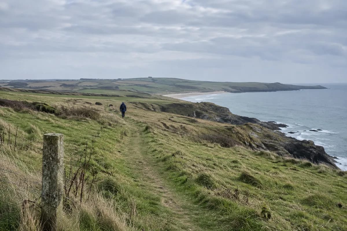
Strunjan's official nature trail brings salt pans and the Adriatic cliff landscape into one walk. Begin at the Landscape Park Strunjan Centre in the salt pans, follow the signed circuit, and finish at the same center. Choose it for the contrast between a worked coastal landscape and the sea-facing slopes above it.
The park calls the trail “Strunjan: A Portrait by the Sea.” Its trail page gives 5.3 km (3.3 mi), around 1½ hours of walking and 15 interpretive stations. Leave extra time if reading the panels and stopping at the views is the main reason for coming.
Start with the salt pans
The park center provides the circuit's fixed start, rather than an arbitrary point on the coast. The nearby Saltpan House exhibition explains the park's relationship with the sea. It is a useful first stop when open: the straight edges and managed water of the salt pans make more sense beside the natural coast you will see later.
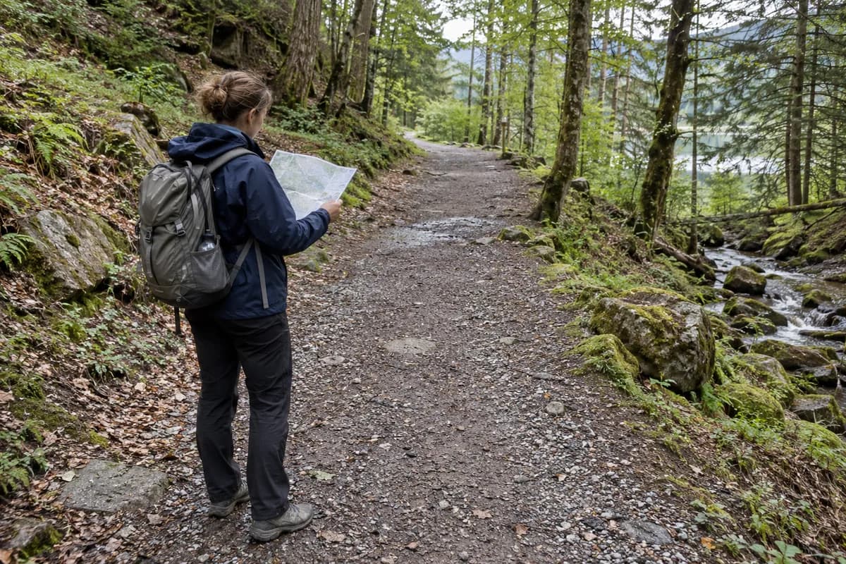
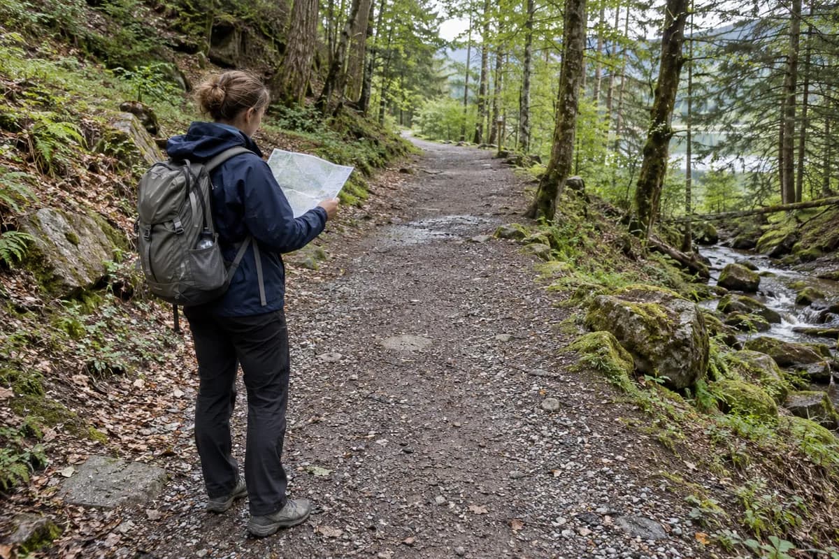
Carry the official brochure and map. It distinguishes the nature circuit, cycling route and beach accesses, as well as reserve zones. Follow the circuit's waymarks through its stations instead of choosing every path that appears to head toward the water.
Keep the cliff view on the marked walk
The layered flysch cliff is part of the attraction. Seeing it from the established route is a different outing from reaching the shore below. The map's separate beach-access symbols matter here: a view down to a bay does not mean the nature trail descends there.
For this visit, keep the full circuit as the walking plan and any beach visit as a separate decision using current park guidance. That leaves time for the salt pans as well as the coast, and avoids turning the return to the center into a search for an informal shortcut.
Reach the park center, then begin the circuit
Use the center at Strunjan 152 as the arrival reference and the park's visit map for parking and access. If arriving by public transport, establish the pedestrian approach from the actual Strunjan stop before departure. The 5.3 km circuit begins at the center, so add that approach in both directions.
Current signs take precedence over the printed brochure if a section is restricted. Ask the park center about cliff-path conditions after poor weather, then decide whether to complete the circuit or keep the visit around the salt pans. Our coastal-walk planning guide helps distinguish an established land route from a separate shore-access proposal.
What this guide is based on
This guide is researched editorial guidance. A source review does not confirm current local access, road conditions or your individual ability.
- Nature Trail Strunjan ↗Landscape Park Strunjan · E43-S1
Live direct HTTPS GET; circuit start/end, 5.3km, 1.5h and15 stations.
- Strunjan official brochure ↗Landscape Park Strunjan · E43-S2
PDF text and map labels inspected; static brochure does not prove current cliff access.
- Plan a visit ↗Landscape Park Strunjan · E43-S3
Current park map categories and marked-path guidance; no dated bus service established.