Loch Katrine: Walk to Brenachoile Point and Back
Follow the 7.1 km Brenachoile return walk from Trossachs Pier, with a smooth shore road and a rougher final approach to the viewpoint.

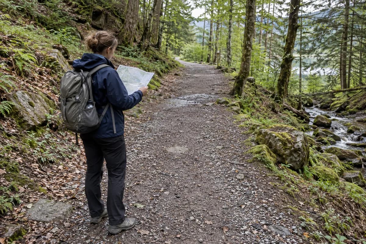
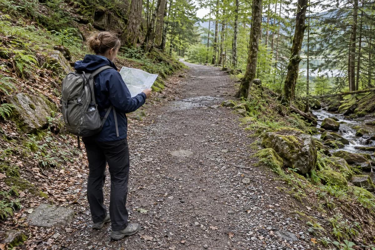
Walk from the Trossachs Pier end of Loch Katrine to Brenachoile Point and return on foot. The outing follows the wooded shore, keeping the loch beside you, then leaves the smooth surface briefly for the final viewpoint. It is a complete walking plan without a sailing connection.
Choose it when you want time beside the water and a clear destination. The shore's oaks and the views across the loch give the outward walk its own interest, while the return opens the same landscape in the opposite direction.
Keep the distance attached to the return walk
Forestry and Land Scotland lists the Brenachoile Trail at 7.1 km (4.4 mi), allowing 2½ hours. Its description explicitly says to the point and back. That is the walking total from the trail start, before extended pauses.
Use the official route card from Loch Katrine car park. Keep to the Brenachoile outing rather than continuing along the loch toward a distant settlement or turning onto Primrose Hill. The latter is a separate, more demanding trail with its own length and terrain.
Smooth road, rougher viewpoint
Most of the Brenachoile route uses wide tarmac with moderate slopes. The final viewpoint approach is a brief uneven grassy path with a short, fairly steep slope. There is also a gate and an opening both listed as 1.1 m (3.6 ft) wide.
Those details matter if choosing the route for wheels or limited mobility. The smooth shore section and the final grassy approach are different surfaces; decide whether to reach the point itself or turn back before that last section. Use the current access information for your equipment rather than extending the tarmac description to the whole outing.
The book-shaped interpretation panels along the shore connect the landscape with art, literature and music. Leave time for them if that is part of the appeal; the walk need not become a race to the endpoint.
Begin at Trossachs Pier
FLS's visitor directions use the A821 approach and FK17 8HZ as the nearest postcode. Trossachs Pier has toilets, a cafe and parking. Check individual facilities' hours if relying on a meal after the walk.
The national park warns that landslips can affect the North Shore Road and that access may be limited during heavy rain with a yellow weather warning. Before leaving, check its Loch Katrine access notice, follow the linked Scottish Water updates, and read FLS local alerts. Follow any shore-road notices displayed at the pier. If the required section is closed, choose another outing before starting. A cruise can be a separate visit, but it does not automatically complete this return walk.
For this plan, carry enough time and energy to walk back to the pier. Our turnaround-time guide helps if you decide to shorten the outing along the shore rather than continue to the point.
What this guide is based on
This guide is researched editorial guidance. A source review does not confirm current local access, road conditions or your individual ability.
- Loch Katrine trails ↗Forestry and Land Scotland · E49-S1
7.1km includesreturn2.5h,tarmac versus final grassy slope,1.1m opening.
- Loch Katrine route card ↗Forestry and Land Scotland · E49-S2
Crown2024 PDF:start carpark and traildefinition. Static card is not current closure evidence.
- Loch Katrine visitor information ↗Forestry and Land Scotland · E49-S3
A821,postcode,TrossachsPier facilities. No date-specific opening guaranteed.
- Loch Katrine local alerts ↗Forestry and Land Scotland · E49-S4
27June event not applied toOctober. No shore closure displayed in inspected page; not field confirmation.
- Loch Katrine access notice ↗Loch Lomond & The Trossachs National Park · E49-S5
Conditional landslip and heavy-rain/yellow-warning notice; not evidence of blanket current closure. Linked Scottish Water page returned HTTP403 via web and direct GET and was not verified.