Glencoe: Choose a Woodland Walk from the Visitor Centre
Choose a lower woodland trail from Glencoe Visitor Centre, with the short yellow route or the longer blue walk through the trees.

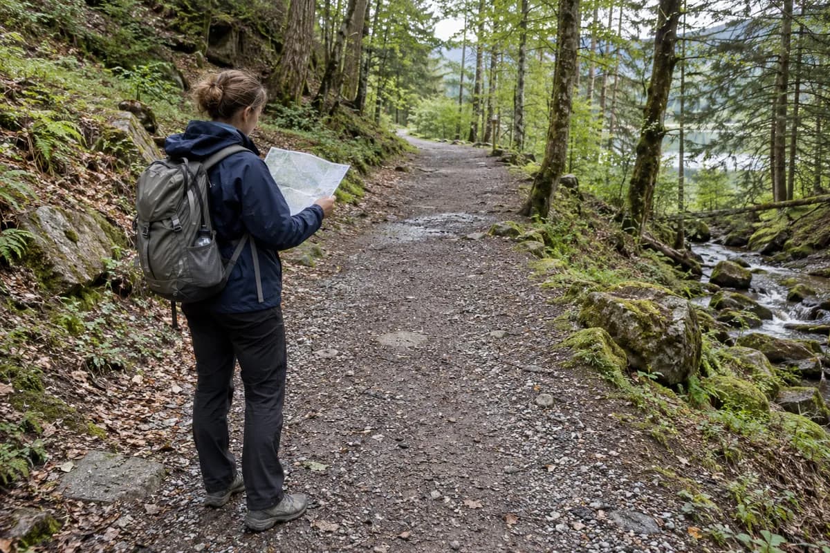
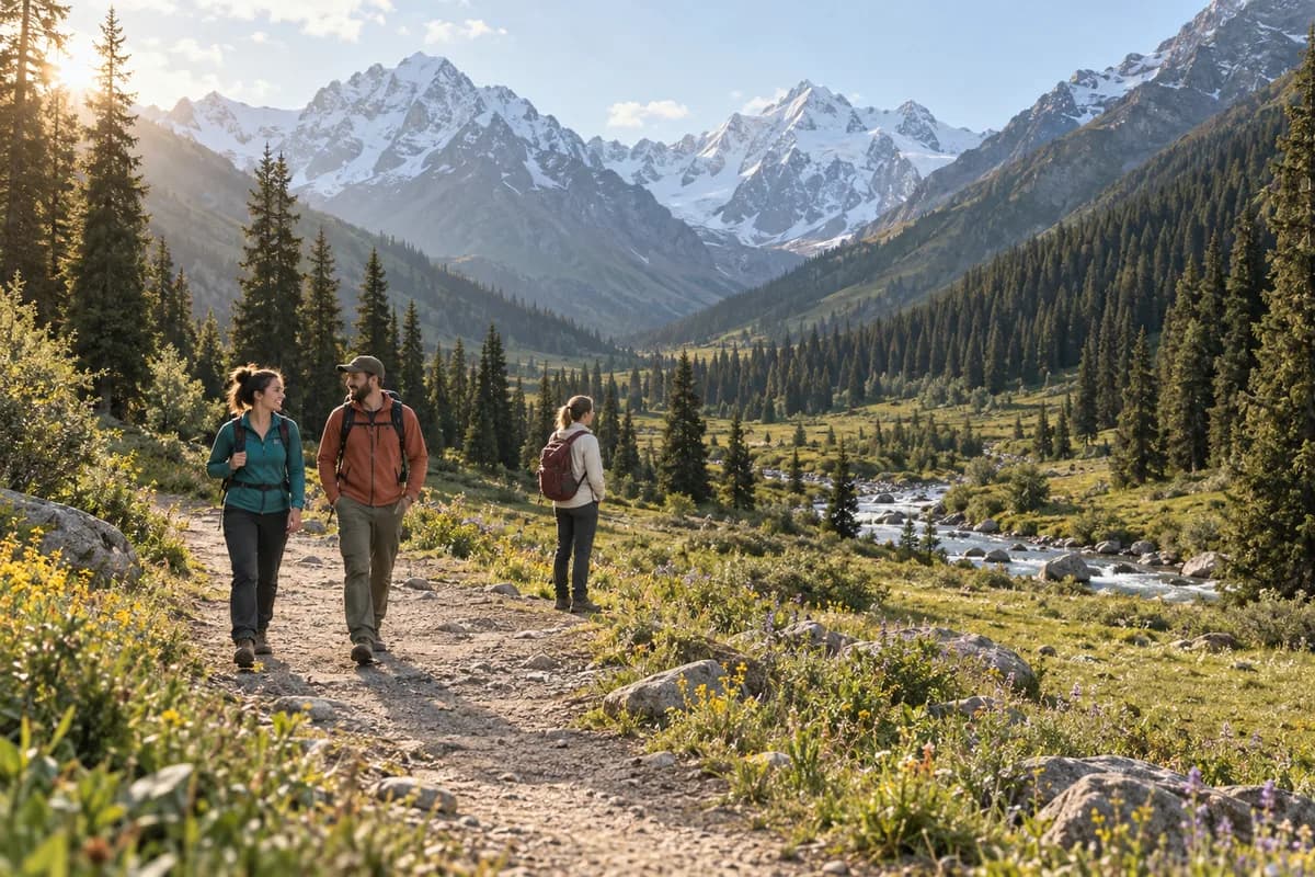
Glencoe's visitor-center woodland gives you mountain views without making a mountain climb the day's objective. Begin at the National Trust for Scotland visitor center and choose one of the signed lower trails: the short yellow route for a brief outing, or the blue route for more time among the trees and the Inverigan historic site.
The surrounding mountains provide the scale; the nearby woodland provides the walk. The center also has a reconstructed turf and creel house, which adds a tangible view of earlier life in the glen. Combine these for a short visit with time outside.
Choose from the current trail board
The Trust's outdoor-adventures page lists the woodland yellow trail at 300 m (about 1,000 ft), the black at about 0.8 km (half a mile), and the blue at just over 1.6 km (1 mi). It describes the yellow as an all-access trail. Use the current board at the center for the route and any restrictions.
Choose yellow when a short walk around the center is enough. Choose blue when you want the woodland to be the main activity. The woodland leaflet describes an undulating, unsurfaced route through birch and conifer woodland to Inverigan, returning to the visitor center. It is an older leaflet, so follow present signs rather than relying on its old color connections or facility information.
Woodland history with a mountain backdrop
Inverigan connects the walk to the history of the Glencoe Massacre. The ruins described in the leaflet are from a later house at a site associated with an earlier settlement; the visible walls are not themselves a surviving house from 1692.
Back at the center, the Trust's visitor page places the turf-house reconstruction at the mountain viewpoint. The building, exhibition and woodland can make a complete lower-level visit even when cloud obscures the higher ridges.
Arrive at the center
The arrival directions distinguish long-distance services stopping at the visitor-center junction on the A82 from local buses ending in Glencoe village. The village approach adds about 2.4 km (1.5 mi) each way via the described path.
If arriving by bus, select the actual stop and return service, then account for that approach. Use the designated pedestrian connection; the A82 is not the walking route. For drivers, the visitor-center car park is the simplest start.
Read the center's opening hours if the exhibition, cafe or turf house is part of your plan. Those building hours are separate from the reserve's daily access. For a mixed group, the pace-planning guide helps agree whether the short trail and center visit meet everyone's main interest.
What this guide is based on
This guide is researched editorial guidance. A source review does not confirm current local access, road conditions or your individual ability.
- Glencoe outdoor adventures ↗National Trust for Scotland · E46-S1
Current HTML: woodland yellow300m, black halfmile, blue justovermile; Greenway is separate.
- Glencoe woodland leaflet ↗National Trust for Scotland · E46-S2
Older PDF: unsurfaced undulating circuit via Inverigan, later ruined house at earlier settlement site. Current webpage controls lengths; no current turn-by-turn claim.
- Glencoe visitor page ↗National Trust for Scotland · E46-S3
Reconstruction, visitor center and reserve versus building hours; no date-specific opening guaranteed.
- Glencoe arrival ↗National Trust for Scotland · E46-S4
Village1.5mile pedestrian approach versus visitorjunction stop. No departure verified or booked.