Morro de Castelo Branco: A Coastal Walk on Faial
Walk the official Lombega circuit toward Faial’s pale volcanic dome, with coastal views and a return through fields instead of a summit scramble.
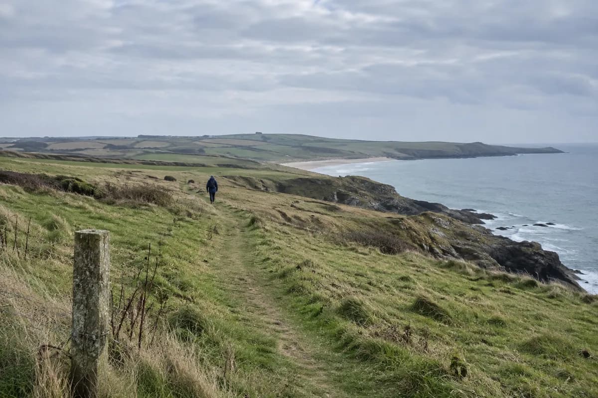
Morro de Castelo Branco rises as a pale dome at the end of a short coastal peninsula. The appeal of the official walk is the approach: fields give way to the cliff, the dome grows ahead and the sea frames the final detour. Plan to view it from the marked route, rather than treating its top as the destination.
Azores Trails lists PRC05FAI as a 3.7 km (2.3 mi) circular walk, easy in its classification, with an average of 1 hour 30 minutes. The description begins in Lombega near the regional road. Identify the signed start there; a general destination pin for Castelo Branco may take you somewhere else.
A coastward approach
From Lombega, the marked route passes a café before turning onto a dirt road through cultivated land. It reaches the cliff and continues through coastal vegetation. The description identifies a viewpoint toward the Capelinhos area before the dome itself.
This first part is a reason to walk the circuit rather than only drive as close to the rock as possible. The change from farmland to exposed coast makes the volcanic feature easier to read. Keep your attention on the marked line where it runs near the cliff, especially in wind.
At the gate described by the operator, the route takes a right-hand detour toward Morro. Before the road ends, the view east can include Pico island when visibility allows. Do not build the visit around seeing Pico: the dome and the immediate coast remain the local subject.
View the dome without extending the trail
The feature is a trachyte dome formed by a coastal eruption. It is also an important seabird nesting place within a protected setting. The official route takes walkers toward it and then back to the gate; it does not describe a summit ascent.
That distinction matters on the ground. Follow the signed detour, respect any local barrier or nesting restriction and return the way you came to the gate. A path-like line on the rock is not an invitation to climb it. Keeping the outing on the published approach still gives a clear destination and the dome's relationship with its narrow coastal connection.
Finish through the fields
After returning to the gate, continue along the marked route onto the asphalt road through cultivated fields and pasture. It reaches the regional road, completing the published circuit. Carry the operator's map linked on the same page to identify the short finishing connection to your start.
Arrange transport to and from Lombega, including your return to Horta if that is your base. Check trail alerts and the coastal forecast before traveling; the operator's easy classification does not remove exposure at the cliffs.
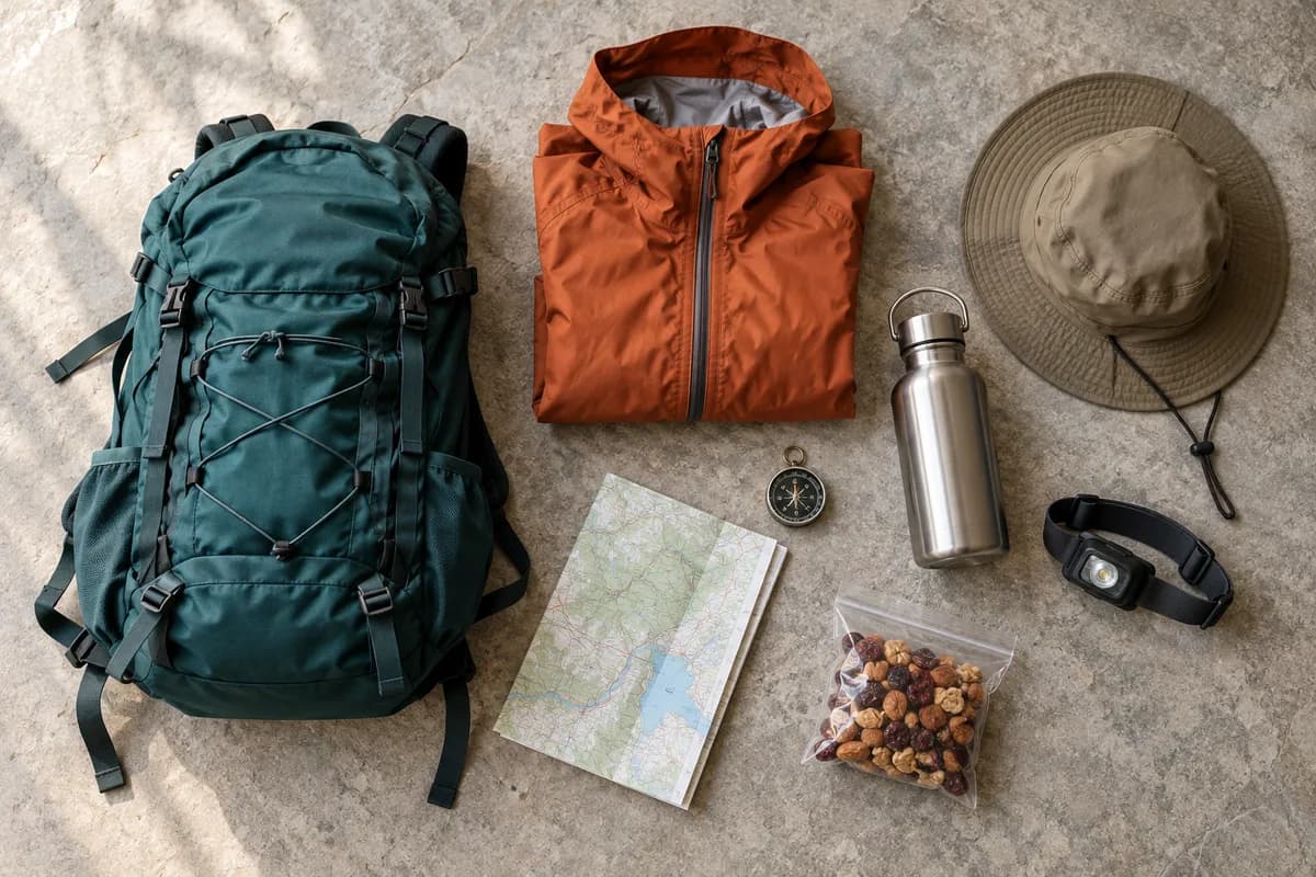
For footwear and wind layers, use the day-hike packing guide. Give this compact coastal outing enough time for stops along the cliff and dome approach.
What this guide is based on
This guide is researched editorial guidance. A source review does not confirm current local access, road conditions or your individual ability.
- Morro de Castelo Branco — PRC05FAI ↗Azores Trails — official tourism website · A50-E03-01
Published trail description; no field verification or trip-date transport/closure confirmation. Direct HTTPS GET and parsed HTML read 2026-10-16.