Faial’s Caldeira: Rim Walk or Viewpoint Visit?
Choose between the Caldeira viewpoint and Faial’s 6.8 km rim circuit, with the tunnel, Cabeço Gordo and the uneven final descent explained.
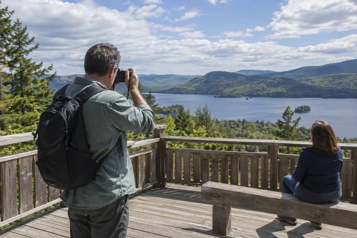
At Faial's Caldeira, the first choice is visible almost immediately: look into the crater from the viewpoint, or commit to walking around its rim. The short visit gives you the bowl's scale. The circuit adds changing views into the crater and outward over the island, along exposed high ground.
The official PRC04FAI description gives 6.8 km (4.2 mi) and an average of 2 hours 30 minutes for the circular walk. It specifically recommends good weather and visibility. Make those conditions part of the decision, rather than assuming its easy classification applies to a clouded, windy rim.
The view through the tunnel
Begin at the Caldeira viewpoint. A small tunnel leads to the view into the crater, whose interior contains characteristic laurel-forest vegetation. Return through the tunnel to the road if continuing around the rim.
For someone primarily interested in the crater's shape, this can be a complete visit when the view is clear. It also gives a practical place to reassess the weather before committing to the longer walk. If the bowl is hidden, walking farther is not a guarantee that it will emerge.
What the rim adds
The published circuit climbs the stairs and turns right along the dirt path toward the Chapel of São João. It follows the crater's edge, with views toward Faial's north and west coast as well as inward. The route passes endemic vegetation, including Azores juniper and heather.
Follow the current arrows at intersections. Some sections share markings with a Grand Route; a connection is not a continuation you need for this circuit. In particular, PR06 Rota dos Dez Vulcões heads toward the western side of the island. Taking it changes the walk and the transport plan.
Later the rim route climbs toward Cabeço Gordo, reaching 1,043 m (3,420 ft) above sea level. This is the highest point of the route, not a figure for total ascent. After the antenna dishes, the descent returns to the initial viewpoint. Azores Trails warns that this last part is sharply uneven; leave time and concentration for it rather than considering the walk finished at the high point.
Keep the crater floor separate
This article covers the viewpoint and PRC04FAI rim. Neither choice includes a descent into the protected crater interior. Do not follow a line downward from the rim or assume permission for the circuit includes an interior visit. If you want that separate activity, obtain its current conditions through the park before making plans.
For the rim day, arrange your arrival and return at the viewpoint parking area. Add pauses and transport to the published walking duration, and carry the current official map linked on the trail page. Recheck trail notices and visibility before leaving your base. The turnaround-time guide helps protect the return without turning a weather-dependent rim walk into a race.
What this guide is based on
This guide is researched editorial guidance. A source review does not confirm current local access, road conditions or your individual ability.
- Caldeira — PRC04FAI ↗Azores Trails — official tourism website · A50-E04-01
Published trail description; no field verification or trip-date transport/closure confirmation. Direct HTTPS GET and parsed HTML read 2026-10-16.