Covão d’Ametade: A Short Visit Beneath the Cântaros
Choose a visit to Covão d’Ametade’s birches and glacial basin without turning the stop into a climb through Serra da Estrela’s granite peaks.

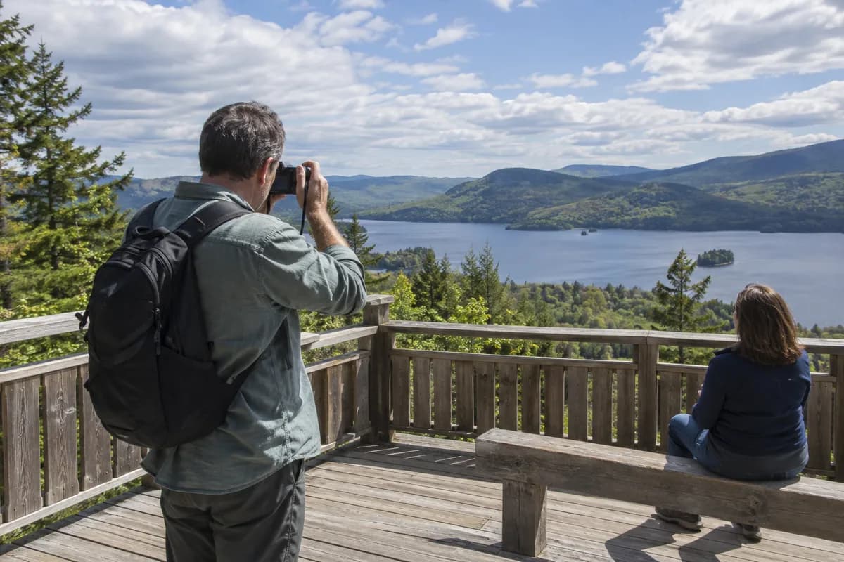
Covão d’Ametade gives you a view of Serra da Estrela from below its granite towers. The birches and wet basin make the foreground; the Cântaros rise behind. Choose it for a short visit in the valley setting, or as a deliberate pause on a mountain-road day, without adding a summit walk.
The landscape you come to see
Visit Manteigas places Covão d’Ametade at about 1,500 m (4,920 ft) above sea level, below Cântaro Magro, at the beginning of the glacial valley. The Zêzere begins to gather here. The municipality describes a poorly drained glacial hollow with vegetation dominated by birches and visitor-support infrastructure.
That combination is the point of the stop. Look first at the basin and its vegetation, then at the granite formations of Cântaro Magro, Gordo and Raso. It gives the mountain landscape a readable scale: trees and water close to you, rock rising above, and the valley opening beyond.
A short visit should stay within the designated visitor area and the paths currently permitted there. The hollow's wet ground is part of its character; cutting across it to shorten a walk or reach a photograph damages the setting and may leave you on ground quite different from the maintained approach.
Keep the visit separate from the climbs
The municipal page also identifies this area as a starting place for mountain walking and climbing. Those activities need their own route, equipment and weather decision. Seeing walkers continue upward does not make their line a suitable extension to a brief stop.
For this visit, return to the same access point after spending time in the basin. There is no prescribed circuit or summit objective to complete. That leaves room for someone who wants to sit by the visitor area while others look at the permitted paths nearby, provided everyone agrees where and when to meet.
Fit it into a road day
Use the municipality's directions link to locate Covão d’Ametade, then check mountain-road conditions before driving. Snow, ice, fire-related restrictions or storm damage can change access to the Serra; the scenery page is not a road-opening bulletin. If access to this stop is closed, choose another stop for the day.
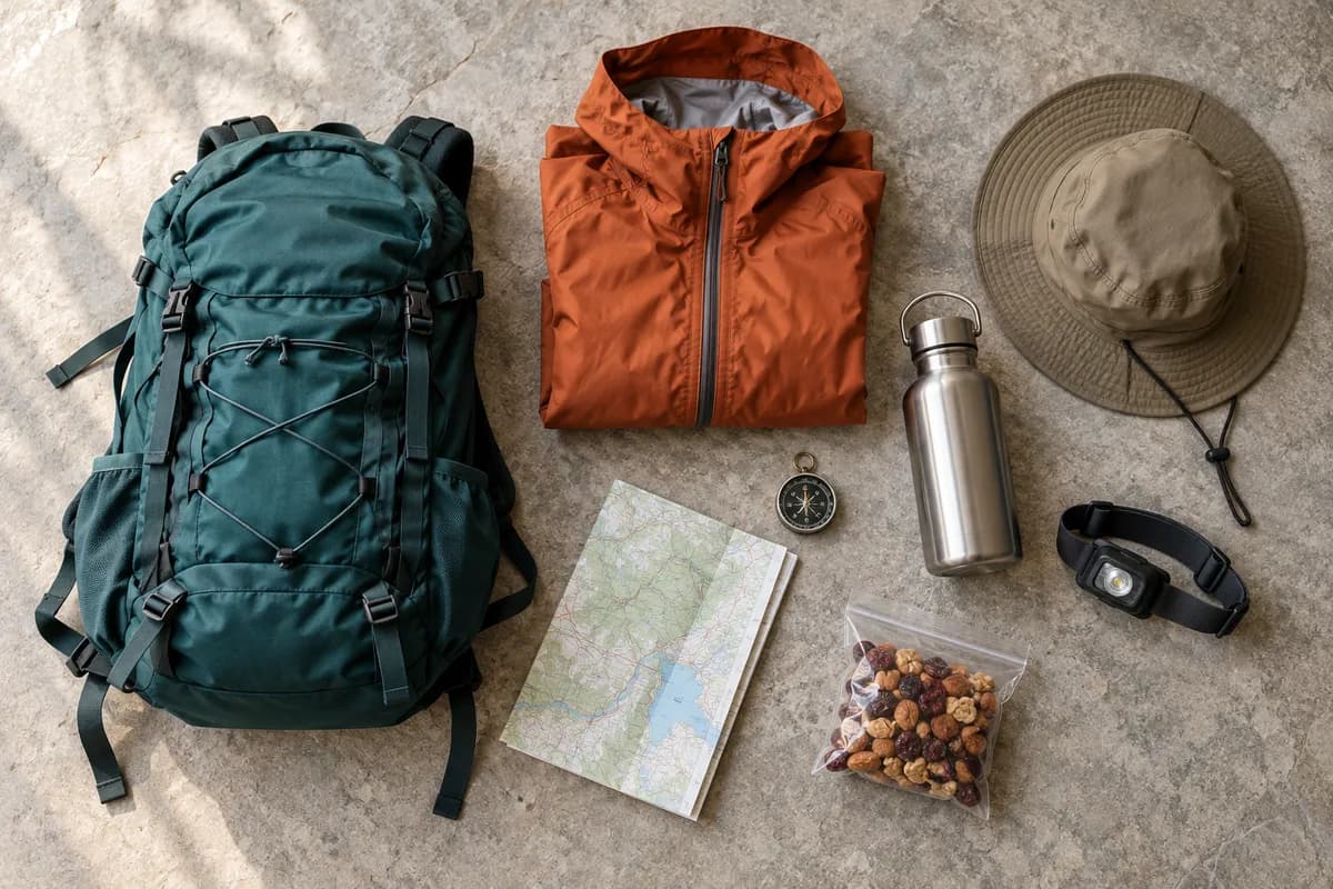
Allow time for the mountain approach and return as well as the stop itself. A brief walk at high altitude still deserves a layer suited to the forecast, water and shoes for damp ground. The day-hike packing guide helps scale that small bag to the conditions. Come for the birches and granite setting; a climb can remain a separate day.
What this guide is based on
This guide is researched editorial guidance. A source review does not confirm current local access, road conditions or your individual ability.
- Covão d’Ametade — Visit Manteigas ↗Municipality of Manteigas tourism · A50-E10-01
Read live 2026-10-16 via web.open or direct HTTPS GET; published information, no field visit, trip-date booking or vehicle availability. See claims/review for scope.