Falls of Shin: The Viewpoint and the Forest Trails
Separate the short waterfall viewpoint visit from the named forest loops, with steps, road crossings and the return clear.
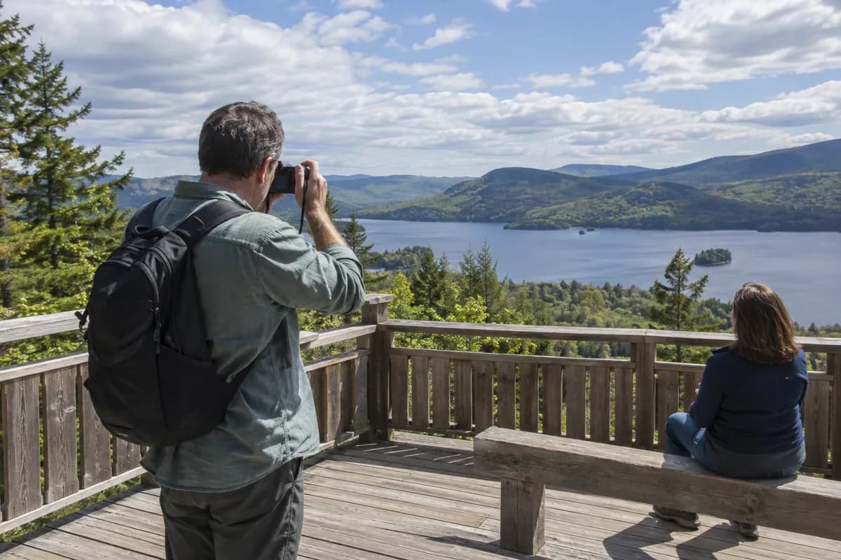
Make the waterfall viewpoint the first decision at Falls of Shin. It is a separate path from the waymarked forest trails. Add the Riverside Trail for a small woodland outing, or the Woodland Trail if you want a longer climb above Achany Glen. Salmon are a possibility in season, not a scheduled attraction.
Down to the falls, back up to the start
The FLS route card describes the Salmon Leap viewing path as relatively firm and smooth, but steep in places with a few steps. It is not waymarked. Follow the onsite direction to the viewing area overlooking the falls, then return along that path; do not mistake a forest-route marker for the viewpoint approach.
You can watch the river whether or not a fish leaps during your stop. FLS identifies summer as the salmon-viewing season. Neither the season nor time spent waiting guarantees a sighting. Keep to the viewing area rather than moving onto rocks near the water for a closer angle.
Pick one forest loop
The forest trail page gives three separate options:
| Trail | Published length and time | What changes the choice |
|---|---|---|
| Riverside | 1 km, about 30 minutes | Native woodland and aspen; short fairly steep slopes and two road crossings |
| Pond and Play | 1.3 km, about 30 minutes | Wildlife carvings and natural play areas; uneven gravel and grass |
| Woodland | 2 km, about 45 minutes | Larch, fir and pine; longer slopes and views across Achany Glen |
All three are graded moderate. The forest-trails start is beside the parking area on the route-card map. Follow the chosen waymarked circuit back there, then return to your car or bus stop. Add the waterfall spur separately to these times. Choosing the Riverside route does not mean the whole visit is a level waterside path.
Get the return settled at arrival
The visitor information locates the site on the B864 between the Lairg and Bonar Bridge approaches; use the signed Falls of Shin parking entrance, with IV27 4EE as the nearest postcode. Return to that same parking area after the viewpoint and your chosen trail.
An infrequent Tain–Lairg bus stops here. Check an actual outward and return journey with Traveline Scotland before making it a public-transport day. Leave enough time to climb back from the viewpoint and reach the correct stop; a short forest loop is not a reason to risk the last useful bus.
Parking, café and toilets are operated by the Salt and Salmon Company, with their own charges and opening arrangements. Check those directly if your day depends on a meal or facilities. The FLS local-alert page had no trail-specific closure notice in the checked version, but signs on site can change the available walk.
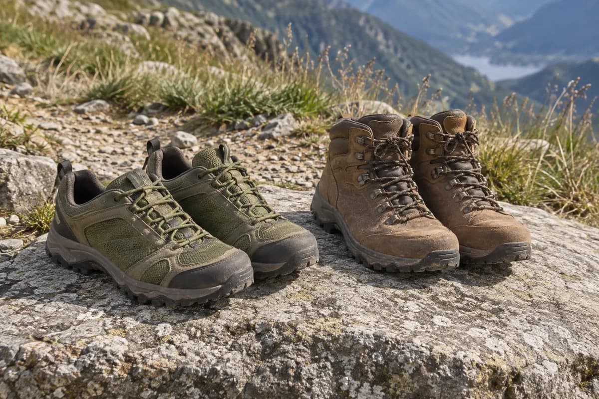
For choosing footwear, the useful details are steps, uneven grass and short steep slopes. Use those rather than the small kilometer totals; our footwear guide explains that choice.
What this guide is based on
This guide is researched editorial guidance. A source review does not confirm current local access, road conditions or your individual ability.
- Falls of Shin route card ↗Forestry and Land Scotland · A40-G40-S1
Actual2pages fully extracted/read; page2 rendered/viewed before initial. Normal access, not real-time status.
- Falls of Shin trails ↗Forestry and Land Scotland · A40-G40-S2
Normal named trail estimates; no measured viewpoint spur time given.
- Falls of Shin visitor information ↗Forestry and Land Scotland · A40-G40-S3
Facilities operated separately; no live timetable or café opening asserted.
- Falls of Shin local alerts ↗Forestry and Land Scotland · A40-G40-S4
Only general ticks/openwater alerts read; absence of trailclosure not access guarantee.