Sognsvann: A Lake Circuit with a South-Shore Start
Walk the gravel path around Sognsvann from its southern arrival area, with a parking-based plan while metro access needs confirmation.
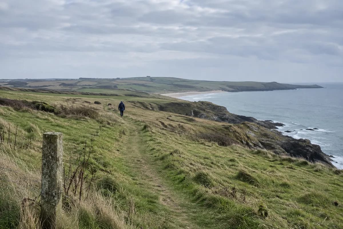
Choose the south-shore arrival area at Sognsvann for a walk around the lake that returns to the same place. The City of Oslo describes a 3.3 km gravel circuit; VisitOSLO rounds its lakeside path to 3.2 km. Allow for the walk between your parking space and the water as well as the circuit itself.
The lake sits at the edge of Oslomarka, with woodland around it and picnic lawns, rocks and small shore areas near the southern end. It works as a complete lake outing without adding one of the longer forest branches. For a shorter visit, walk beside the arrival shore and retrace your steps.
Use the southern parking approach
The City of Oslo's Sognsvann page identifies a large parking area at the south end. Drive there using the signed local approach, follow the pedestrian route to the lake and join the perimeter path. Walk around the shore back to the southern arrival area, then return to your vehicle along the approach you used.
At forest junctions, stay with the path around the water rather than assuming an uphill branch will return to the car. The municipal description says this gravel path is primarily for people on foot and discourages cycling on it. Its lighting follows the perimeter, with reduced brightness after 23:00; that is useful infrastructure, not a reason to leave the visit until late.
Keep the metro option separate this October
Sognsvann normally has a Line 5 metro station, but a specific Ruter station-closure notice now requires attention. Do not plan a direct metro arrival at Sognsvann until Ruter confirms the station's operation or gives you the current alternative and its walking approach. Check both directions in the Ruter app before committing to a car-free visit.
If driving is not an option, keep this outing provisional until that connection is settled. The south-parking plan above does not depend on a train reaching Sognsvann station.
The city says the shore path is plowed and gritted in winter, and VisitOSLO describes it as wheelchair-friendly. Neither statement guarantees the surface on your day. Ask the city about current footing if that affects your group, especially after freezing weather. Keep to the land path; winter activities on the lake are a separate choice with separate ice conditions.
Bring water and a snack if you want a picnic without depending on kiosk hours. For the transport choice, use the car-free nature-trip guide to keep the additional approach and return clear.
What this guide is based on
This guide is researched editorial guidance. A source review does not confirm current local access, road conditions or your individual ability.
- Sognsvann lake ↗VisitOSLO · A100-H009-S1
3.2kmlakesidepath, illumination/wheelchairfriendly description; no current surface notice.
- Sognsvannkiosken ↗VisitOSLO · A100-H009-S2
MetroLine5walkingdistance/localfeatures; no guaranteed kiosk hours.
- Ruter traffic-status retrieval ↗Ruter · A100-H009-S3
WebanddirectHTTP403; not read. Explicittransportlimitation, used only as operator verificationchannel; no allclear asserted.
- Sognsvann municipal access and path ↗City of Oslo · A100-H009-S4
Fullbody opened AFTER initial;3.3km gravelcircuit southparking, wintermaintenance. Not current surface clearance.
- Sognsvann station closure pointer ↗Ruter · A100-H009-S5
Targetedsearch surfaced exactOct1 upto4week closure AFTERinitial; web/direct/IAB403 fullread failed. No detailed dates/350m/specialtransport asserted inbody. Named unresolved restriction only.