Kea Point: Walk from Aoraki/Mount Cook Village
Choose the village start for Kea Point’s moraine-side viewing deck, or shorten the approach from White Horse Hill, then return by the same track.

Kea Point gives you a mountain-viewing destination within walking reach of Aoraki/Mount Cook village. The track crosses subalpine grassland and scrub toward the Mueller Glacier moraine wall, ending at a deck above the valley. Choose the village start if the walk itself is your afternoon plan; White Horse Hill offers the shorter approach.
Village or campground?
DOC lists two hours return from the village, or one hour return from White Horse Hill Campground. Start the longer option on Terrace Road near the visitor center. For the shorter walk, drive to the campground at the end of Hooker Valley Road. In either case, return to your original start on the same track.
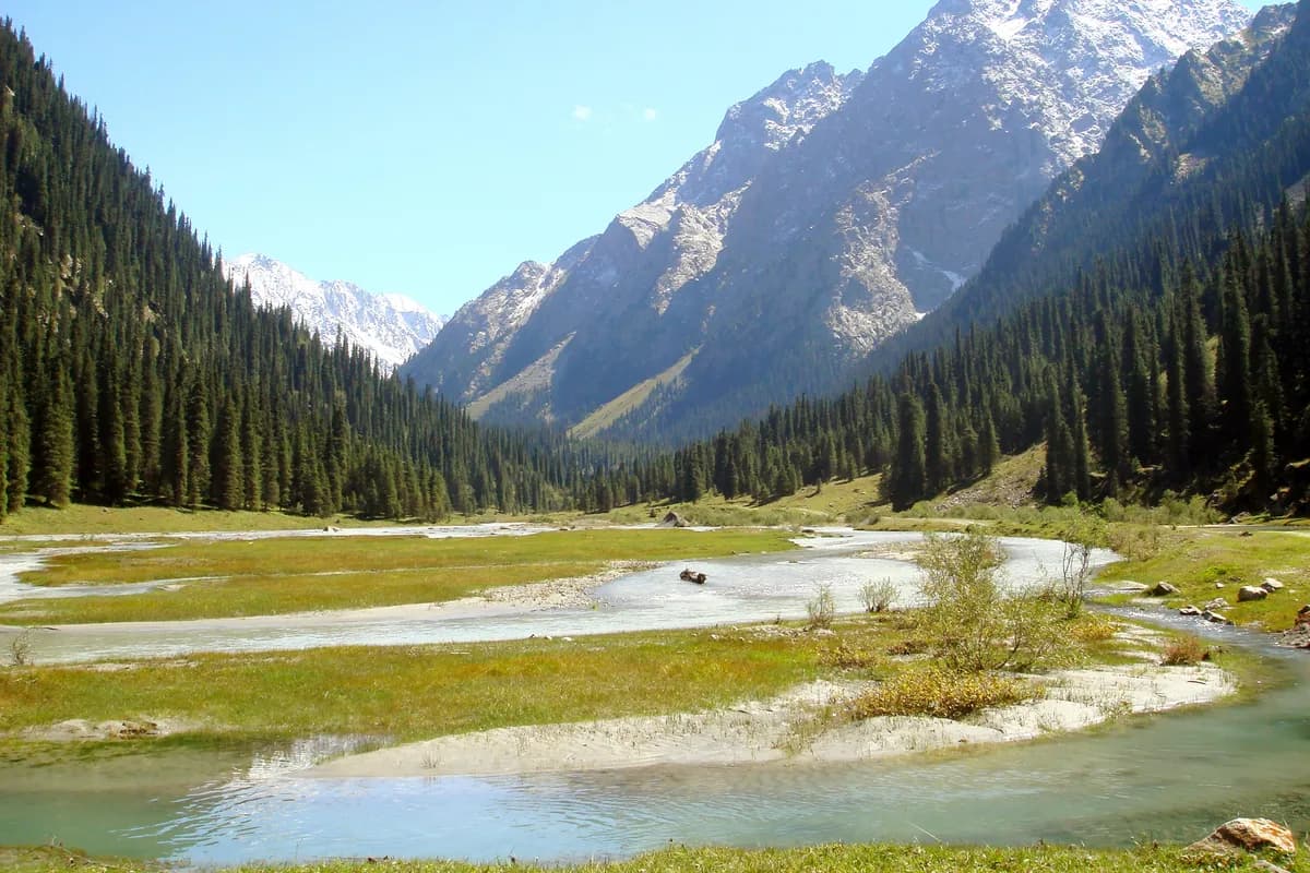
The deck looks toward Mount Sefton, The Footstool, Hooker Valley, Mueller Glacier lake and Aoraki/Mount Cook. Clouds can change how much of that skyline appears. The moraine and lake remain part of the setting; the walk does not take you onto the glacier.
DOC gives a height gain of 180 m (590 ft) over 3 km (1.9 mi). Do not read that as a verified three-kilometer round trip from either start: the page states the gain and distance separately from its two return times. The elevation-gain guide explains why a short walk can still involve meaningful climbing.
Keep the return in the plan
White Horse Hill parking is charged, with card payment on arrival for visits longer than twenty minutes. Allow enough paid time for the entire walk and pauses. Starting in the village avoids that driving stage if your accommodation is already nearby.
Read the park’s current notices and ask at the visitor center about Kea Point before departure. The active park-wide predator-control notice says the operation area remains open; follow the local warning signs. Other named trails have separate restrictions, so do not add a nearby walk solely because Kea Point fits your day. No dogs are permitted on Kea Point.
What this guide is based on
This guide is researched editorial guidance. A source review does not confirm current local access, road conditions or your individual ability.
- Kea Point Track ↗Department of Conservation · A100-H035-S1
Full body read; summary time read in full crawled DOC body; no brochure used
- Aoraki/Mount Cook current alerts ↗Department of Conservation · A100-H035-S2
Same-run root-downloaded primary JSON independently read before initial; no Kea entry, not all-clear