Kok-Bel Waterfall: Choose a Day Hike from Jyrgalan
Choose Kok-Bel for pasture, canyon and waterfall scenery from Jyrgalan, with a local map or guide for the walking version you actually intend.
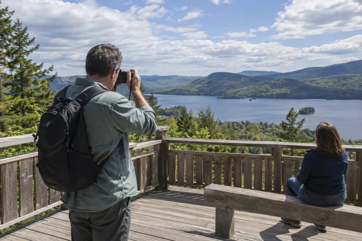
Kok-Bel is the Jyrgalan outing to choose when you want a waterfall at the end of a walk through mountain pasture. The route described by Destination Jyrgalan passes grazing country, enters a narrow canyon and brings village views into the return. That mix gives the day more variety than the waterfall photograph alone suggests.
Use a Jyrgalan stay for this outing so the village is both your start and return. You can leave the main bags at your agreed accommodation and give the walking day its own space between arrival and onward travel.
Pasture, rock and a view back to the village
The local organization’s natural-attractions page describes the waterfall in a rocky cove. Its trekking overview outlines an eastward departure from Jyrgalan across jailoo, or high pasture, then a narrow canyon and a return with views of the village.
Choose it for that changing approach. The open pasture and the enclosed waterfall are different parts of the same day; leave time to look back across the valley as well as pause at the water. The published descriptions cannot promise the amount of flow on a particular date.
Turnaluu-Kol is the nearby alternative to discuss if a lake rather than falling water is the main interest. Destination Jyrgalan describes that outing with an alpine lake and valley views. The choice is about the landscape you want to spend time with, before comparing the current routes and effort.
Get the walking map for Kok-Bel
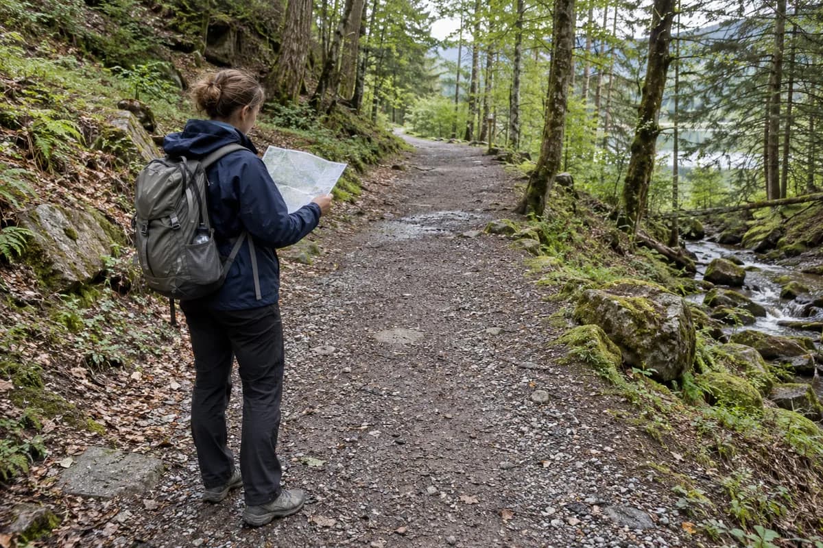
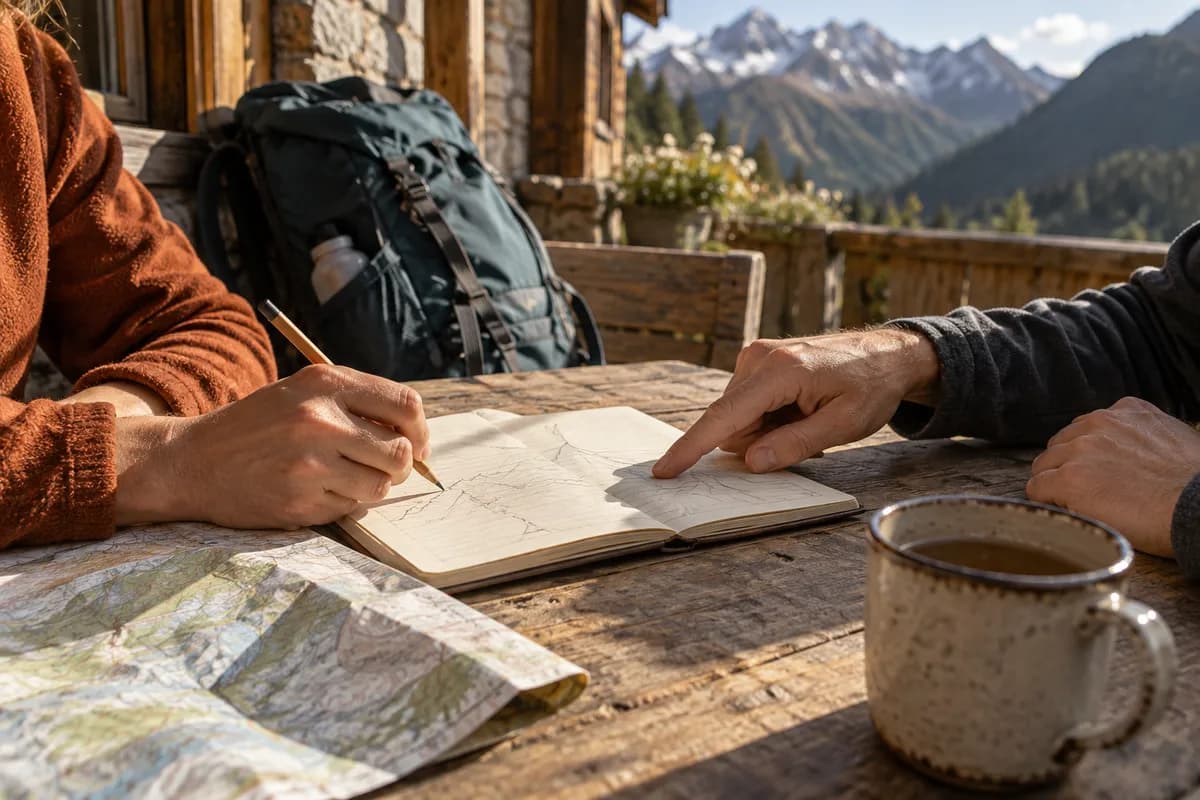
Destination Jyrgalan offers maps with GPS and topographic information and local guiding. Ask for the current Kok-Bel walking route from the village, showing the start, waterfall approach and return. The natural-attractions page also mentions mountain biking and horses, so specify walking when requesting the map or arranging support.
The local pages disagree on some route measures, and one tour description incorrectly labels “2,600 m” as waterfall height. Use the organization’s current map or guide to establish the day’s distance and ascent rather than treating that number as the waterfall drop. Our trail-description guide explains why endpoints matter when comparing figures.
You can contact Destination Jyrgalan at destination.jyrgalan@gmail.com or +996 551 916 924; the organization lists its village address as Asanbaev Street 3. Request the waterfall day by name, including current footing, crossings and the full return time to your accommodation.
Give the village return room
Keep the outing separate from an onward transfer until you know the current walking plan. A fixed departure from Jyrgalan should determine how much time remains for the canyon, waterfall pause and return across pasture.
If you want a shorter day, have the local organization identify a specific shorter alternative rather than assuming a halfway turn reaches the waterfall. A guide can explain a changed route, while a current map supports an independent choice when conditions and your experience suit it. Compare Karakol and valley bases if you are still deciding where these local days belong in the wider stay.
What this guide is based on
This guide is researched editorial guidance. A source review does not confirm current local access, road conditions or your individual ability.
- Natural Attractions in Jyrgalan Valley ↗Destination Jyrgalan · E34-S01
Landform and map/guide offer; no current flow/crossing confirmation
- Trekking Tours in Jyrgalan ↗Destination Jyrgalan · E34-S02
Conflicting waterfall-height label and elevation; exact route stats excluded
- Trekking Around Jyrgalan ↗Destination Jyrgalan · E34-S03
Overview walking route12km differs from tour12.3km/elevation; no fresh GPX inspected