Toreadora: Choose the Lake Trail, Not Route 1
Separate Cajas’s two-hour Toreadora trail from the longer numbered route and organize registration, weather and the same-control return.

At La Toreadora, ask for Sendero Toreadora by name. ETAPA lists it separately from Route 1: the former is a 2.82 km trail estimated at two hours, while Route 1 is a 4.46 km moderate route estimated at five hours and five minutes. Starting near the same visitor hub does not make them interchangeable lake walks.
Make the control point your anchor
ETAPA places the Toreadora refuge about 32 km from Cuenca. Travel to the named Toreadora control and parking area, rather than a general Cajas National Park point. The visitor hub has rangers, interpretation facilities and toilets.
Arrange your return transport to collect you at this same control. If you drive, return to the same parking area. A bus headed along the highway does not provide a confirmed pickup time merely because it can drop you nearby; settle that separately before relying on it.
The entry instructions require a prior reservation for the general public and registration at the control. Follow the official reservation link, retain the confirmation and register on arrival with your identity and chosen trail details. The linked page asks for an existing reservation code and access key; if you cannot create or recover your reservation there, contact ETAPA at +593 7 237 0127 or +593 7 237 0126 before traveling. Do not interpret the form as confirmed availability.
Confirm the trail and its return before setting off
Ask the ranger to identify the currently authorized Sendero Toreadora and explain how it returns to your control. Follow that named signed route, avoiding branches toward numbered routes. The published table does not establish the exact circuit geometry or parking approaches, so treat 2.82 km as its trail figure, not an independently mapped door-to-door total.
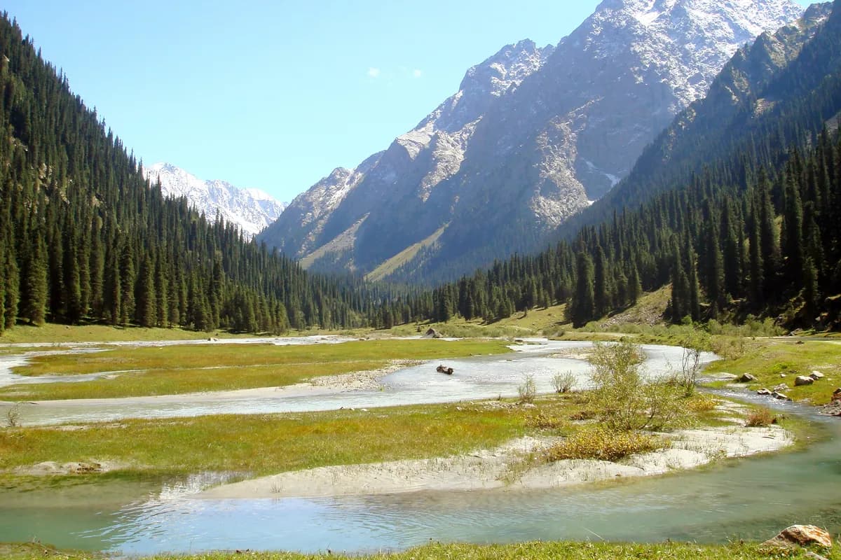
The lake and surrounding high Andean landscape are the focus. The trail’s listed average altitude is 3,947 m; a low difficulty label does not make its effort identical to a walk near sea level. Start with spare time and turn back on the known authorized approach if conditions or your group’s pace make completion doubtful.
ETAPA says not to start or continue walks after 16:00 because fog and cold can intensify. Aim to be back at the control beforehand, allowing time for registration and stops as well as walking. Stay on marked paths and out of the lake. Groups larger than eight need a qualified naturalist guide under the general-public rules. Check current restrictions with staff before starting.
What this guide is based on
This guide is researched editorial guidance. A source review does not confirm current local access, road conditions or your individual ability.
- ETAPARoutes ↗ETAPA EP, administrator of Parque Nacional Cajas · A100-H100-S1
Toreadora2.82km2h3947m low; Route1 4.46km5:05h3900moderate distinct;32kmCuencarefuge; no tablegeometry
- ETAPAInformation ↗ETAPA EP, administrator of Parque Nacional Cajas · A100-H100-S2
Controlparkingrangerinterpretationtoilets; confirms arrivalhub not routegeometry
- ETAPAEntry ↗ETAPA EP, administrator of Parque Nacional Cajas · A100-H100-S3
Priorreservationviahmaccres and confirmationpriority; compulsoryregistrationcontrol; morethan8guide mandatoryqualifiedcurrentcredential; not16threshold
- ETAPARules ↗ETAPA EP, administrator of Parque Nacional Cajas · A100-H100-S4
No startorcontinueafter16; weatherfog; markedroutes; register; no swimming/fire/exoticplantsanimals
- ETAPACurrent ↗ETAPA EP, administrator of Parque Nacional Cajas · A100-H100-S5
Indexwebbodyread throughAugust2026, titlesmissing; no comprehensivecurrenttrailclearance obtained; limitation retained