Tentsmuir: A Forest-and-Dune Walk from Kinshaldy
Follow the 6.2 km Ice House Trail from Kinshaldy for pine forest and dunes, with a separate beach pause and current car-park gate information.

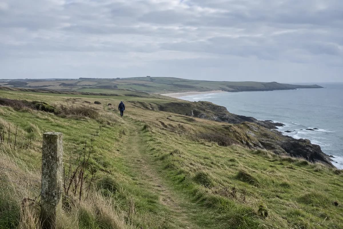
Choose Kinshaldy for a Tentsmuir outing that starts where pine forest meets dunes and a broad sandy coast. Use the Ice House Trail as the main walk, then add a beach pause from the established access near the car park if conditions and time suit it.
The trail leads through forest and dunes to the nineteenth-century ice house and the reserve information pavilion. That gives the walk a destination beyond the beach while keeping the arrival and return at one entrance.
Make the Ice House Trail the walking plan
FLS's current trail page lists 6.2 km (3.9 mi) and about two hours for the Ice House Trail. The surface is largely firm but uneven and sandy, with roots, wet or muddy sections and short steep ramps. This is a moderate forest walk rather than a paved seaside promenade.
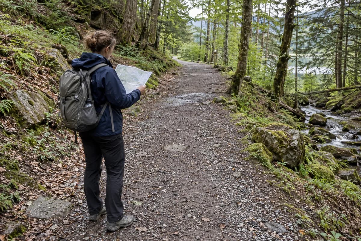
Take the route-card map and follow the waymarked loop from Tentsmuir car park. The map also shows the wider forest, Morton Lochs and Tentsmuir Point. Those names describe other destinations, not extra stops already included in the two-hour allowance.
A shore pause works best as a separate addition near your starting area. Leave enough time to return through the established beach access and reach the car before the gates close, instead of extending the day indefinitely along the sand.
Kinshaldy is a particular entrance
NatureScot identifies three ways into the reserve: Kinshaldy, Tayport and Morton Lochs. Its visitor page directs drivers toward Kinshaldy Beach and asks them to follow signed diversions to the forest car park.
For this walk, use FLS's Tentsmuir/Kinshaldy car park, with KY16 0DR as the closest postcode. A bus to Tayport serves a different side of the reserve. Likewise, Leuchars railway station is not the start of this circuit; arrange the onward and return connection separately if arriving by train.
Use the current gate information
The live FLS visitor page lists April–October gates at 08:00–21:00, last entry 20:30, and November–March at 08:00–dusk. In winter, plan your exit around daylight and the posted closing time on arrival.
The current page gives £4 daily parking with coin and card payment. Older route cards and reserve text show earlier charges and payment arrangements, so use the live FLS page and on-site barrier instructions for the car park it manages.
Keep wildlife watching at a distance and obey local signs around birds and seals. FLS prohibits fires in the forest and on the beach; any permitted barbecue use is confined to its designated picnic-area rules and can be suspended in dry conditions. For a coast-focused day, the coastal-walk guide helps keep a beach extension separate from the signed forest circuit.
What this guide is based on
This guide is researched editorial guidance. A source review does not confirm current local access, road conditions or your individual ability.
- Tentsmuir trails ↗Forestry and Land Scotland · E50-S1
6.2km2h IceHouseTrail and terrain.
- Tentsmuir route card ↗Forestry and Land Scotland · E50-S2
Map and labels inspected. Historical£2coin-only conflicts with currentFLS and is not used for parking advice.
- Tentsmuir reserve access ↗NatureScot · E50-S3
Three entrances, diversion advice. Older Kinshaldy payment terms superseded by current manager page.
- Tentsmuir visitor information ↗Forestry and Land Scotland · E50-S4
Current£4coin/card,gates,fire/BBQ restrictions. No trip-date conditions guaranteed.
- Tentsmuir local alerts ↗Forestry and Land Scotland · E50-S5
No local closure text displayed in inspected page; short-notice changes possible.