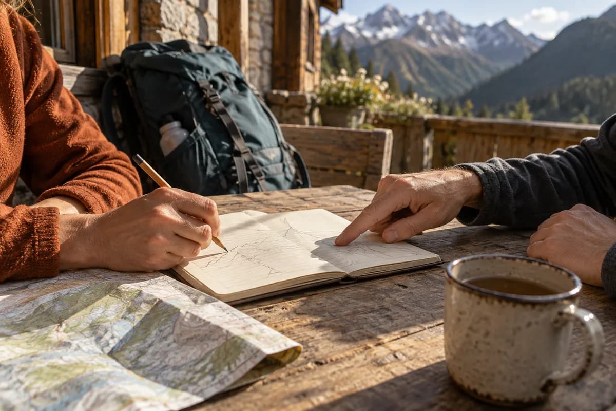
Svartifoss: Walk Up to the Waterfall View
Use the visitor-center approach to the viewpoint above Svartifoss, then retrace it; leave the longer hill circuits for a separate choice.
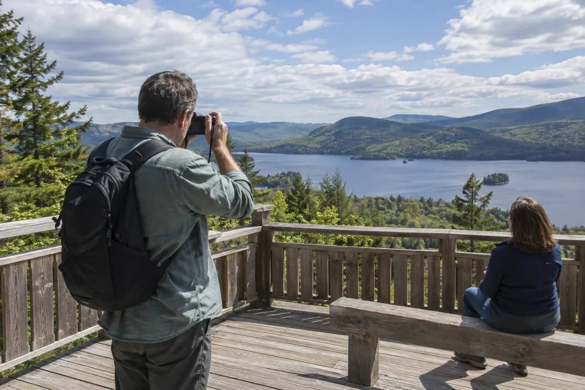
For a waterfall-focused visit to Skaftafell, walk from Skaftafellsstofa to the viewpoint above Svartifoss and return by the same path. The park's detailed approach gives 1.5 km and 140 m of ascent to that viewpoint. Doubling the approach makes this approximately 3 km of walking back to the visitor center, before extra wandering or stops.
Svartifoss is framed by thick basalt columns formed as lava cooled and contracted. The columns, rather than the size of the waterfall alone, make this a distinct stop. The route also climbs through the Skaftafell hillside, so the waterfall view comes after an uphill walk.
Begin at Skaftafellsstofa
Arrive at the Skaftafell visitor area from Route 1 and start beside the visitor center. The park's detailed S2 description sends the first 250 m through the campground, then right and uphill. Follow the Svartifoss signs to the viewpoint above the falls. Turn back there for this version.
The ravine descent, footbridge and paths beyond it are not part of this return. Nor is the full 5.8 km S2 circuit the same thing as a 3 km viewpoint outing. This is where the distinction in our route-shape guide changes the day: retracing the approach keeps the finish at the visitor center without adding another hillside destination.
Read the terrain beyond the easy label
The official description notes wooden and stone steps, platforms and slippery surfaces in wet weather; winter can bring snow and ice. Its broader S2 circuit has 250 m total elevation, which should not be transferred to the shorter viewpoint return. Wear footwear appropriate for those surfaces and allow time for the descent as well as stops.
Check the park's alerts and ask the visitor center about the Svartifoss approach when you arrive. Safetravel warns of storm and rain across Iceland on October 18, 2026 from 15:00 to midnight.
Keep the waterfall return as the day's chosen walk if conditions or available daylight are limiting. You can enjoy the basalt setting without turning it into the longer Sjónarnípa route.
What this guide is based on
This guide is researched editorial guidance. A source review does not confirm current local access, road conditions or your individual ability.
- S2 detailed route ↗Vatnajökull National Park · A100-H005-S1
Actual full HTML read; approach1.5km140m; S2 continuation saysSjónarnípa contrary titleSjónarsker. Only unambiguous approach used.
- Svartifoss feature ↗Vatnajökull National Park · A100-H005-S2
Basalt formation; normal profile not clearance.
- Icelandic park homepage ↗Vatnajökull National Park · A100-H005-S3
Author-stage homepage reading recorded a September Austurbrekkur work notice. Resumed cached body did not recover that dated detail; optional historical aside removed. Homepage is background/visit channel, not current Svartifoss access clearance.
- Announcements & alerts ↗Vatnajökull National Park · A100-H005-S4
Icelandic index read separately from EN; languages contain different notices.
- Safetravel current alerts ↗ICE-SAR · A100-H005-S5
October 18 storm/rain15:00–midnight read before batch1 and independently reused same-run; dynamic.