Lac Pavin: Keep the Shore Circuit Separate from Montchal
Walk around the volcanic lake from its nearby parking, or choose the distinct ten-kilometer Montchal outing from Pertuyzat.
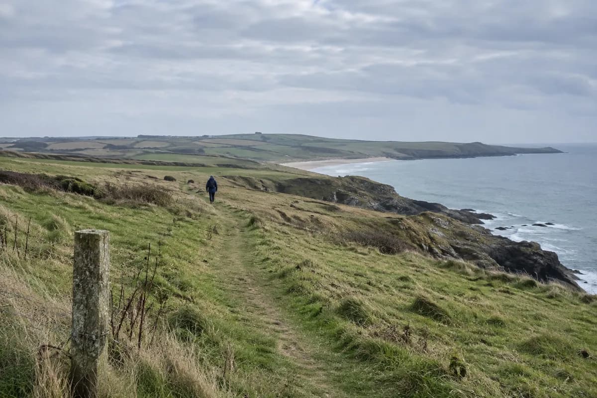
Lac Pavin fills a volcanic crater between Besse and Super-Besse. For a modest walking day, go to the lake and follow its shore circuit. If you want a summit and a wider volcanic landscape, choose a separately planned route over Puy de Montchal; it is not simply the far side of the lake loop.
Sancy tourism’s lake page describes about one hour for the circuit, with parking 100 m from the lake. Arrive at that lake parking, take the designated shore path around the water and finish at the same approach for the return to your vehicle.
A lake day stays beside the water
The near-circular water and the wooded crater sides are the main subject of this visit. You can also make it shorter by walking part of the shore path and returning the same way.
Swimming is prohibited. Dogs may accompany the shore visit on a leash, but they may not swim. The lake’s year-round listing is conditional on weather and snow; ice or snow can change a simple-looking path into a different outing.
Montchal belongs to another itinerary
The official route named Le lac Pavin is a 10 km yellow-marked loop from the Pertuyzat Nordic area on D 149, with 3 hours 15 minutes and 320 m ascent. Its route reaches the lake, climbs through beech woodland to Montchal’s 1407 m summit, then continues through a broader circuit before returning to Pertuyzat.
Those figures do not apply to the one-hour shore walk, nor to an improvised summit extension starting at the lake parking. The longer itinerary also prohibits dogs, even though the shore visit permits them. Select the correct starting point before driving out, rather than discovering the difference halfway around the lake.
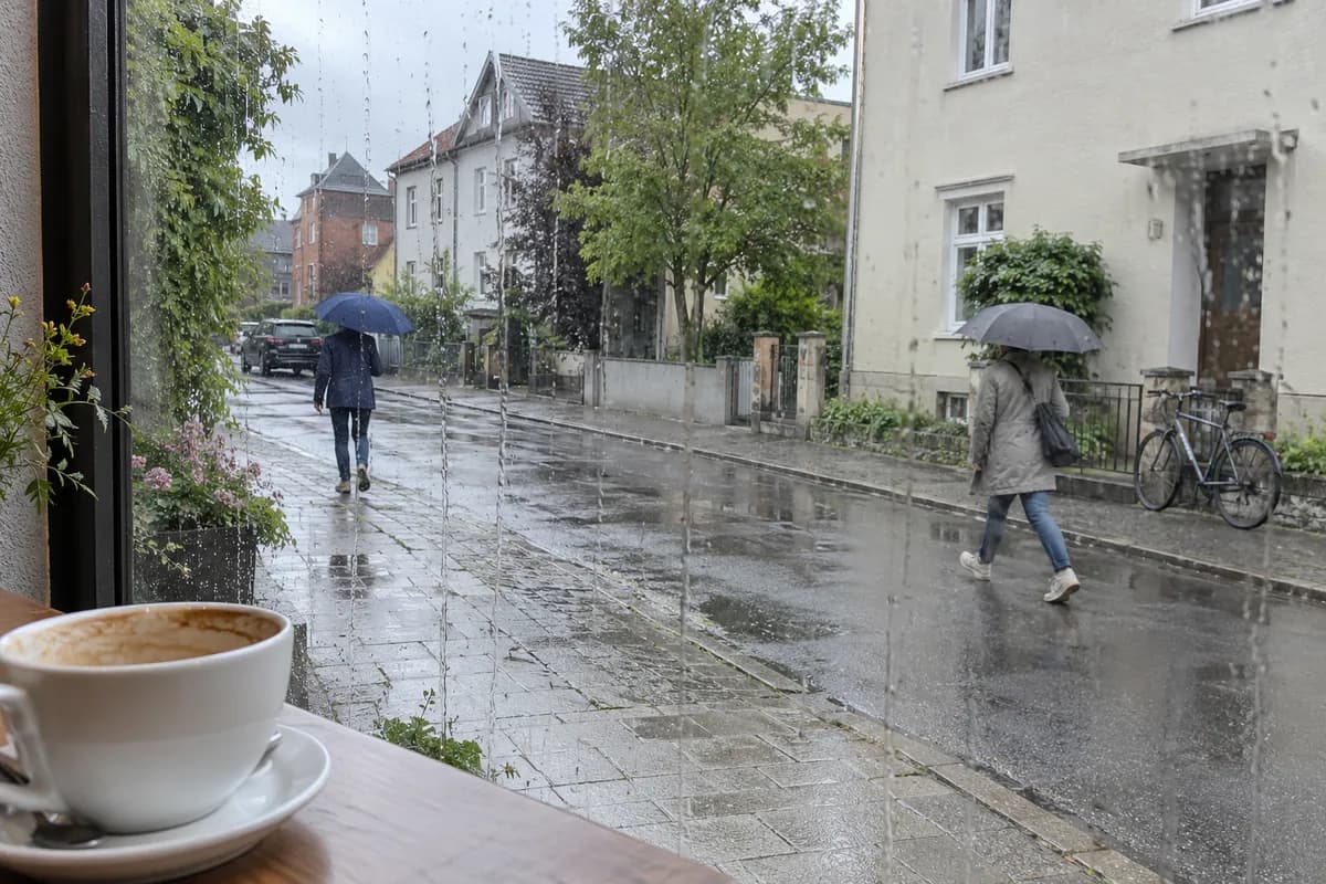
Take the shore circuit for time beside the water or a group with limited walking ambitions. Choose the Pertuyzat loop for the extra climb and surrounding landscape, carrying its full route directions and enough time for the complete return. If the forecast is poor, keep the higher outing for another day; a rainy-day backup should remain useful without depending on clear summit views.
What this guide is based on
This guide is researched editorial guidance. A source review does not confirm current local access, road conditions or your individual ability.
- LacPavin naturalsite ↗Office deTourismeduSancy · A40-G14-S1
FullHTMLread;updated30July2026;onehourshorewalkprofile.
- Le lacPavin hikingroute ↗Office deTourismeduSancy /Puy-de-DômePDIPR · A40-G14-S2
FullHTMLreadviawebandHTTP;updated29May2026;distinct10kmroutefromPertuyzat.