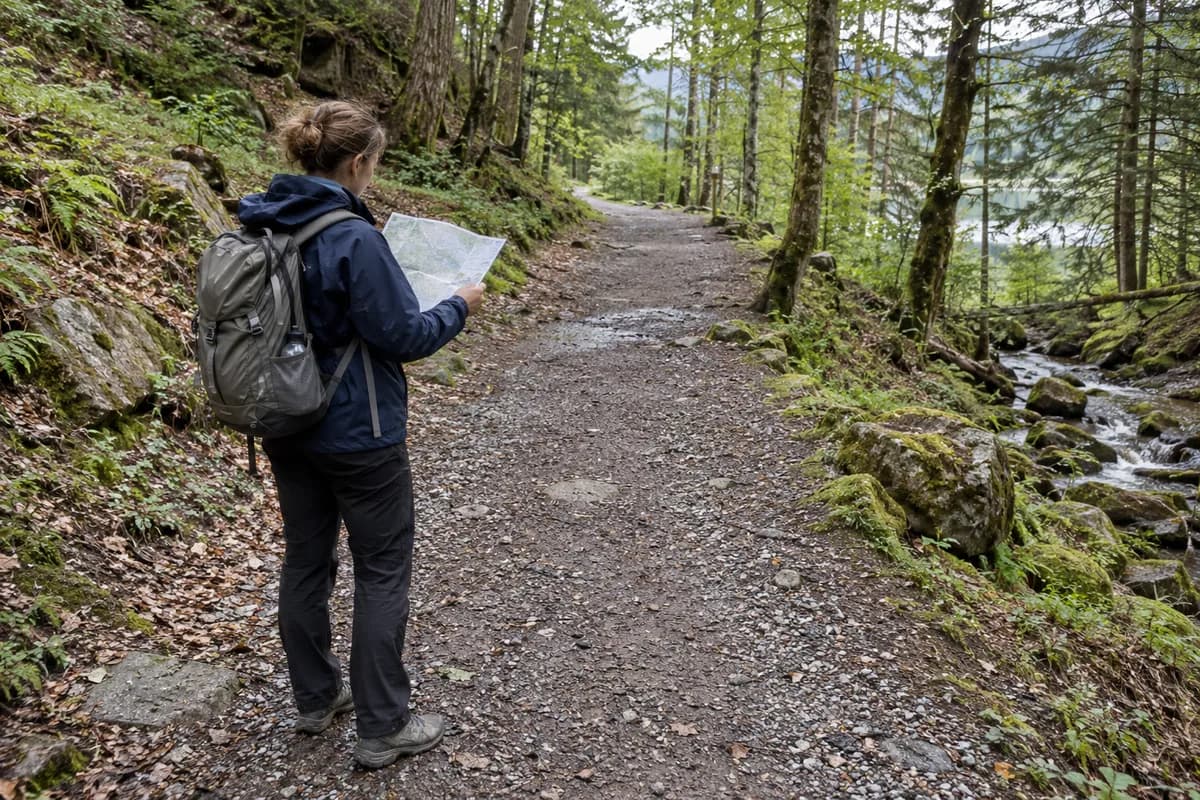
Franchard: Sandstone, Oak Woods and the Yellow-Marked Walk
Follow the short Gorges de Franchard circuit from its own parking area, without confusing it with blue trails or climbing circuits.

Franchard brings several Fontainebleau landscapes into one outing: sandstone boulders, heath and tall oak woodland. The short promenade is a better starting point than choosing a line through the rocks by eye. Follow the yellow walking pictograms, and let the boulders be the scenery rather than an invitation to improvise a scramble.
The tourism authority’s Franchard listing links a detailed three-page walking leaflet. It describes a 2.5 km circuit from Parking des Gorges de Franchard; its summary says 1 hour 30 minutes while its prose estimates about 1 hour 15 minutes. Allow at least the longer published estimate, plus stops, rather than treating the shorter figure as a deadline.
Before choosing that circuit, check the ONF map of open and closed sectors after the July 2026 fire. Some forest sectors remain closed or partly closed. Confirm the yellow circuit and its parking approach against the latest map; the older leaflet does not establish that they are open today. If the circuit is affected, choose another permitted outing rather than improvising through a closed sector.
Find the yellow figures beyond the first rocks
Arrive at the Gorges de Franchard parking on D 301, with your own vehicle or an arranged pickup at the same place. Follow Route de l’Ermitage past the wooden ecotourism building and the stone hermitage. At the first rocks, the leaflet identifies a sign with two yellow silhouettes marking the promenade. Keep that sign system for this circuit.
The detailed route uses Route de la Roche qui Pleure and the Gorges path, then returns by wooden stairs and Route de l’Ermitage to the parking. At the viewpoint junction, continuing the loop and taking the viewpoint are distinct choices. The leaflet gives the viewpoint spur as an extra 500 m return and 15–20 minutes. Add it only if everyone still wants the extra walking.
Stay with one circuit
Fontainebleau has several overlapping ways of marking walks and climbs. ONF’s Franchard restoration account mentions the blue No.7 trail; that is not the instruction to replace the yellow promenade signs with blue ones. Numbered climbing boulders are another activity again.
The leafleted circuit includes wooden steps and uneven forest terrain. It should not be presented as a wheelchair route because a separate arboretum walk nearby is adapted. Before leaving, check ONF’s Fontainebleau notices for work, fire restrictions and hunting information; signs or closures on site override the older leaflet. Keep forest-road barriers clear when parking.
Bring the downloaded route with you. The offline-map guide is useful here because a short circuit can still have enough junctions to make a saved start point and the correct markings worthwhile.
What this guide is based on
This guide is researched editorial guidance. A source review does not confirm current local access, road conditions or your individual ability.
- Sentier des Gorges de Franchard ↗Seine-et-Marne Attractivité / FontainebleauTourisme · A40-G12-S1
FullHTMLread;localtourismdomain403,officialsyndicatedbodyavailable.Updated24Aug2023.
- Promenade des Gorges de Franchard leaflet ↗FontainebleauTourisme · A40-G12-S2
Actual3pagePDF fulltextread viaweb.Updated28May2021.1h30summary versus1h15prose retained as planningrange,not silentlyresolved.
- ONF Franchard restoration ↗ONF · A40-G12-S3
OpenedfullHTML;historicworksnotassertedongoing.
- Fontainebleau forest news ↗ONF · A40-G12-S4
Indexretrievalfailedafterdiscovery;no claimallclear or currenthuntingdate.
- Fontainebleau sectors open and closed after the fire ↗ONF · A40-G12-S5
Some forest sectors closed/partial afterJuly2026fire. HTML map label1September2026; check latest map before trip. Does not establish Franchard closed or open.