Marble Canyon: Follow the Bridges Above the Gorge
Choose Kootenay’s short canyon walk from its own parking area, keeping the return and quarry restriction clear.
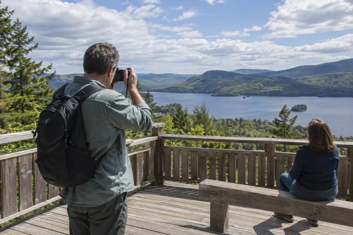
Marble Canyon gives you a short walk along a narrow gorge, with bridges that let you look down into it and interpretive signs along the rim. Start at the Marble Canyon day-use parking area in Kootenay National Park and make the canyon-end Red Chairs your turnaround. This is a separate outing from the longer connection to Paint Pots.
Read the distance as one way
The current day-hike description gives 0.9 km (0.6 mi) one way and approximately 30 minutes for the return walk. Retracing the route makes about 1.8 km (1.1 mi) in total. Add time to pause on the bridges rather than treating the estimate as a deadline.
Follow the signed canyon trail from the parking area, look into the gorge from the designated bridges and return by the same path. The park lists both climbing and descending on the outward leg, so it is not a uniformly level boardwalk. Our route-shape guide explains why a one-way figure needs the return added.
Use the canyon trail, not the quarry
The parking lot is on Highway 93, about 89 km north of Radium Hot Springs. Return to this lot after the walk and leave by the open highway route you have chosen for the day. Bring your park pass and supplies rather than assuming services at the trailhead.
The October 5 trail report rates Marble Canyon good and directs visitors to designated trails and viewpoints. A separate September bulletin prohibits access to the Marble Canyon Quarry area for fossil protection. Stay on the visitor trail; the quarry is not an extension of this walk.
Check the report and bulletins again before driving. An older high-water closure page remains online with conflicting end-date wording, while the newer trail report lists the canyon route in good condition. If new high water or barriers are present, ask park staff before proceeding. Keep dogs on leash.
What this guide is based on
This guide is researched editorial guidance. A source review does not confirm current local access, road conditions or your individual ability.
- KootenayDayHikes ↗Parks Canada · A100-H084-S1
0.9kmoneway30minreturn;65mup35mdownoneway; parking89kmnorthRadium
- KootenayTrailConditions ↗Parks Canada · A100-H084-S2
Good; staydesignated; leashdogs
- KootenayBulletins ↗Parks Canada · A100-H084-S3
Mayhighwaternoticeabsentcurrentlist; quarrynoticepresent
- MarbleQuarryClosure ↗Parks Canada · A100-H084-S4
Quarryaccessprohibited; no mapscreenshot/footprintinspectionclaimed
- OlderMarbleHighwaterNotice ↗Parks Canada · A100-H084-S5
HeaderendsJune16 butbodyuntilfurthernotice; newerOct5currenttrailGood; historicalconflictretained
- JohnstonClosureReplacementReason ↗Parks Canada · A100-H084-S6
Originalcandidateclosed; replacementresearchbeforeinitial; thissourceopenedwebtool