Reintalersee: A Shore Walk You Can Shorten
Use the west-shore path for a lake visit with clear turnarounds, rather than assuming every shore section completes an accessible loop.
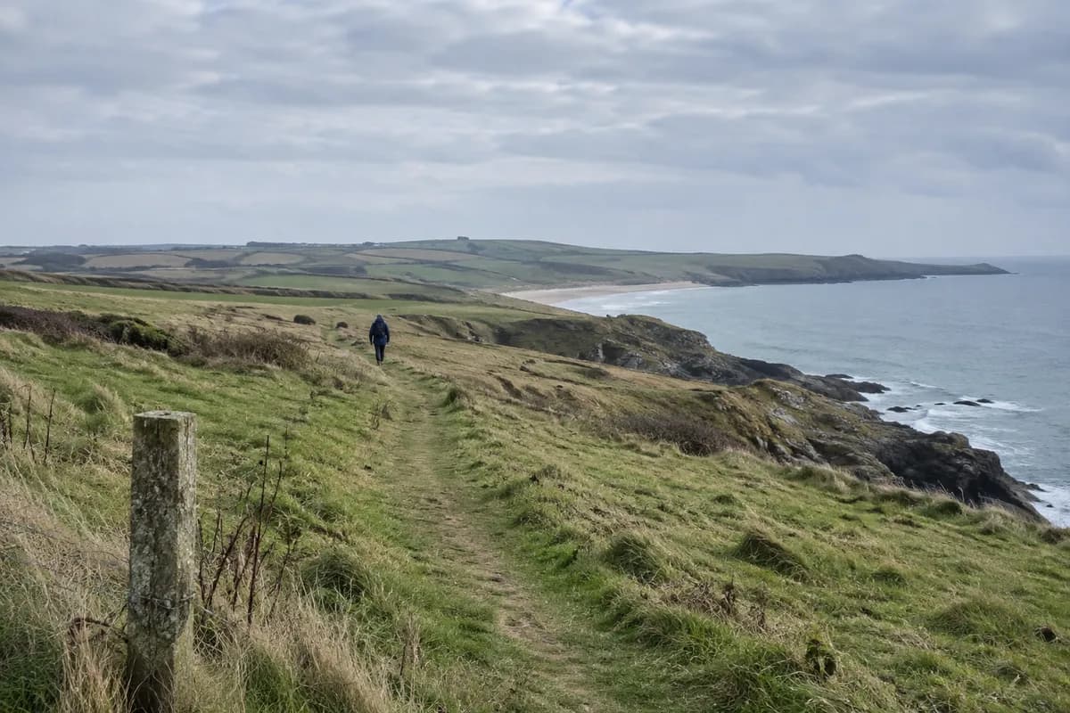
Reintalersee works well for a lake day that can be shortened along the way. Start on the west shore and follow the broad path east past the bathing areas, stopping at the point that suits your time and mobility. Retracing it gives you a clear return without depending on the final section around the lake.
The path combines ordinary shore trails with wooden boardwalk sections. Lawns, piers and places to sit create several natural stopping points. This is the useful distinction from a full circuit: you can reach the water and a worthwhile view without committing to every shore.
Three practical turnarounds
The Alpbachtal route description starts at Reintalersee West parking. It gives these distances from that start:
| Turnaround | Outward distance | Walking back the same way |
|---|---|---|
| Fischerstube | 300 m | About 600 m total |
| Kohlerwiese bathing area and ramp | 800 m | About 1.6 km total |
| South-shore point | 3.4 km | About 6.8 km total |
The totals above are simple doubled distances, not separate measured routes. For a short shore visit, Kohlerwiese gives you a named destination and an easy-to-understand return. Continue past Haflingerhof and the campsites toward the south-shore point only if you want the longer outing.
The tourism board explicitly says the accessible route is not a complete circuit. It describes 3.4 km as accessible and says the final 500 m that would close the loop are not. Its headline 6.97 km route figure should not be read as a 6.97 km accessible lap. If step-free access matters, return by the known path instead of trying to complete the missing link.
Arrive on the west side
Drivers can follow the “to the lakes” signs from Kramsach, past Krummsee to Reintalersee West parking. Parking fees apply. For public transport, the route page names bus 621 and the West parking stop; select both directions in the VVT planner for your date. Returning to the same west-shore start keeps the bus stop or car close to your finish.
Keep the path distinct from the facilities beside it. The lake information page lists paid lake use, designated beaches and the Alpbachtal Card benefit, with parking charged separately. That does not establish that every lawn or private camping frontage can be entered freely. Follow the marked walking route and any entrance notices; choose and pay for a bathing facility separately if you want to use one.
A shore visit in October
The walking route does not require a swim or boat hire. Those services have their own seasons and opening hours. Take food and a layer if you want a walk that works without a restaurant stop. Check local path conditions before relying on accessibility after rain, frost or snow.
Before leaving the west side, decide which named turnaround you are using and leave enough time to retrace it. Out-and-back route planning is useful here because the accessible option stays predictable only while you keep the return on the same path.
What this guide is based on
This guide is researched editorial guidance. A source review does not confirm current local access, road conditions or your individual ability.
- Accessible path along Reintalersee ↗Alpbachtal Tourism · A40-G27-S1
Headline6.97km conflicts with A–B wording; manuscript uses named distance markers not headline as accessible lap.
- Lake Reintal visitor information ↗Alpbachtal Tourism · A40-G27-S2
Opening hours not populated in crawled body; no bathing season/current facility opening claimed.